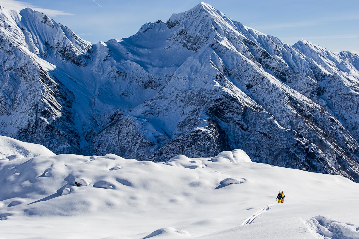
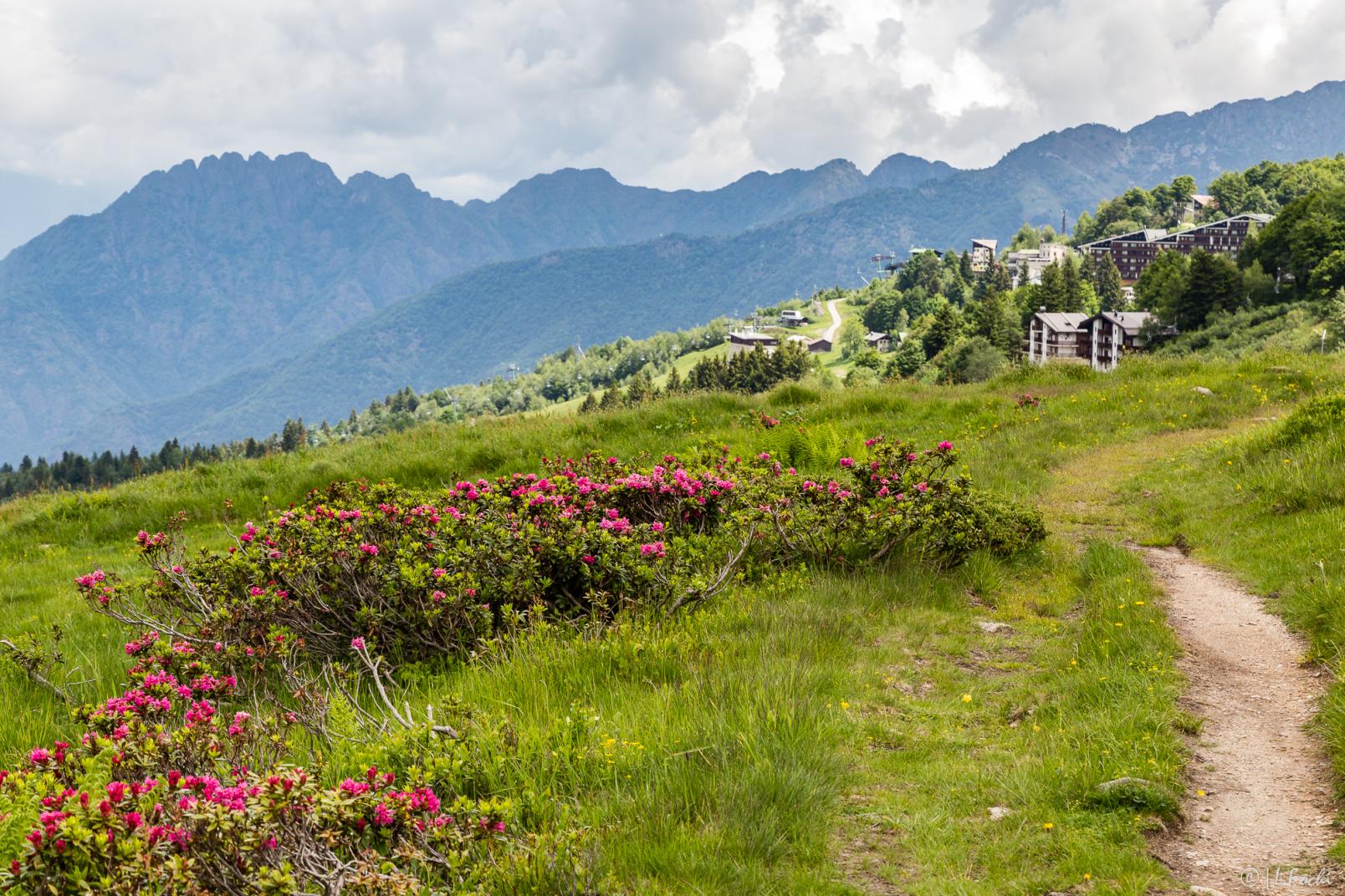
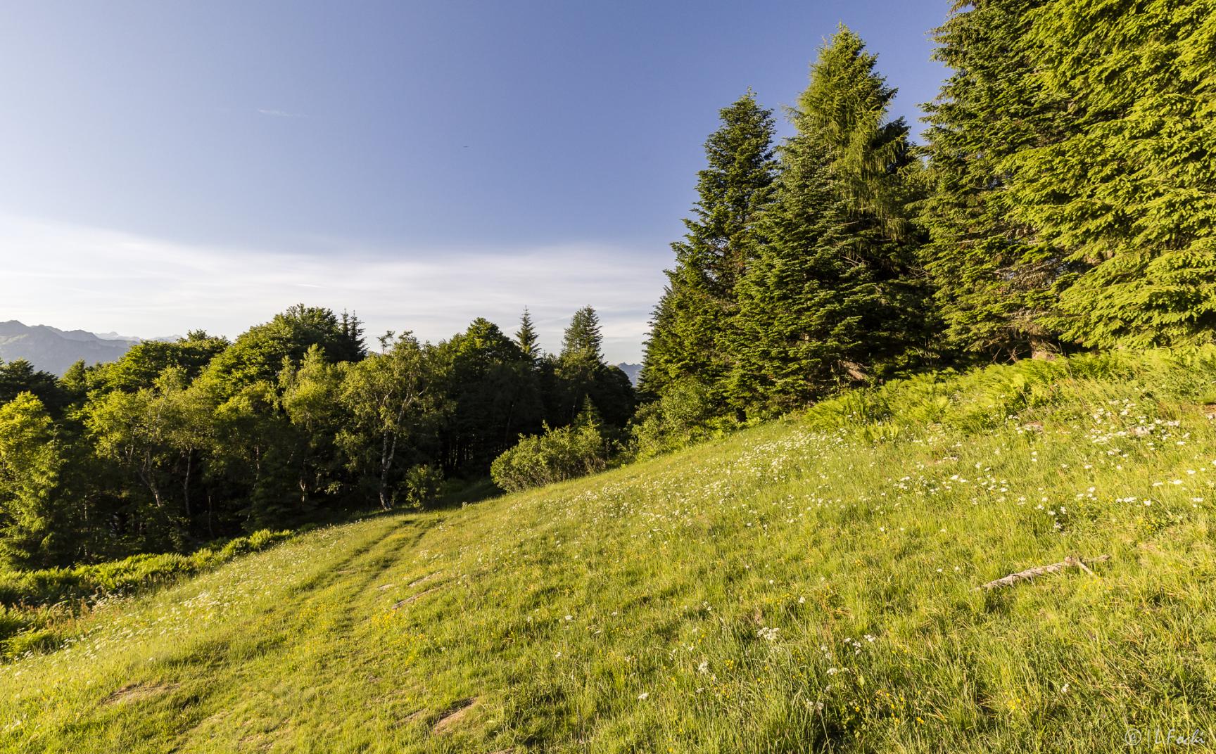
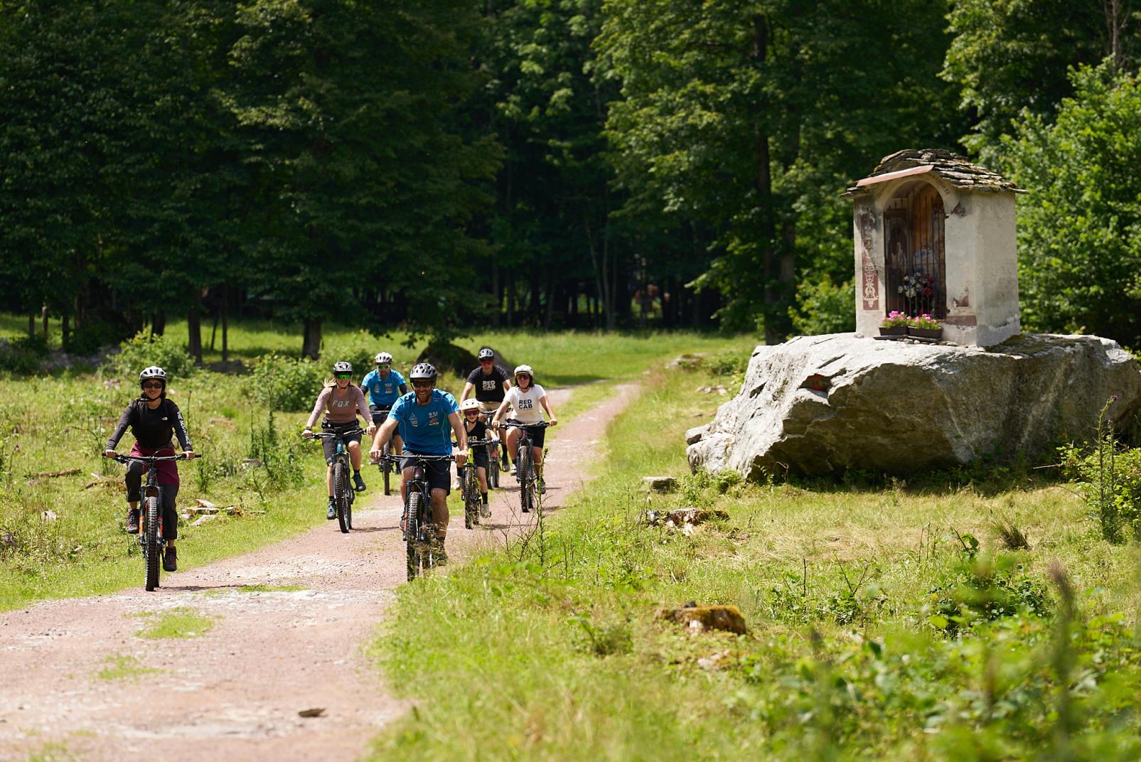
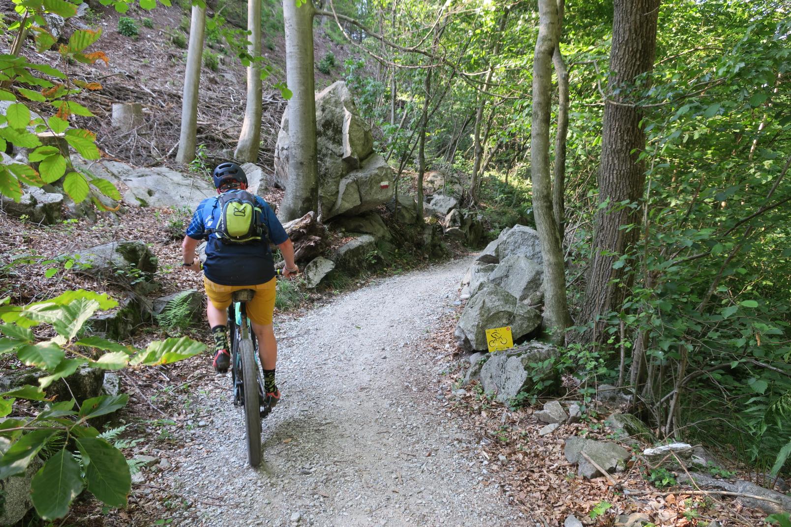
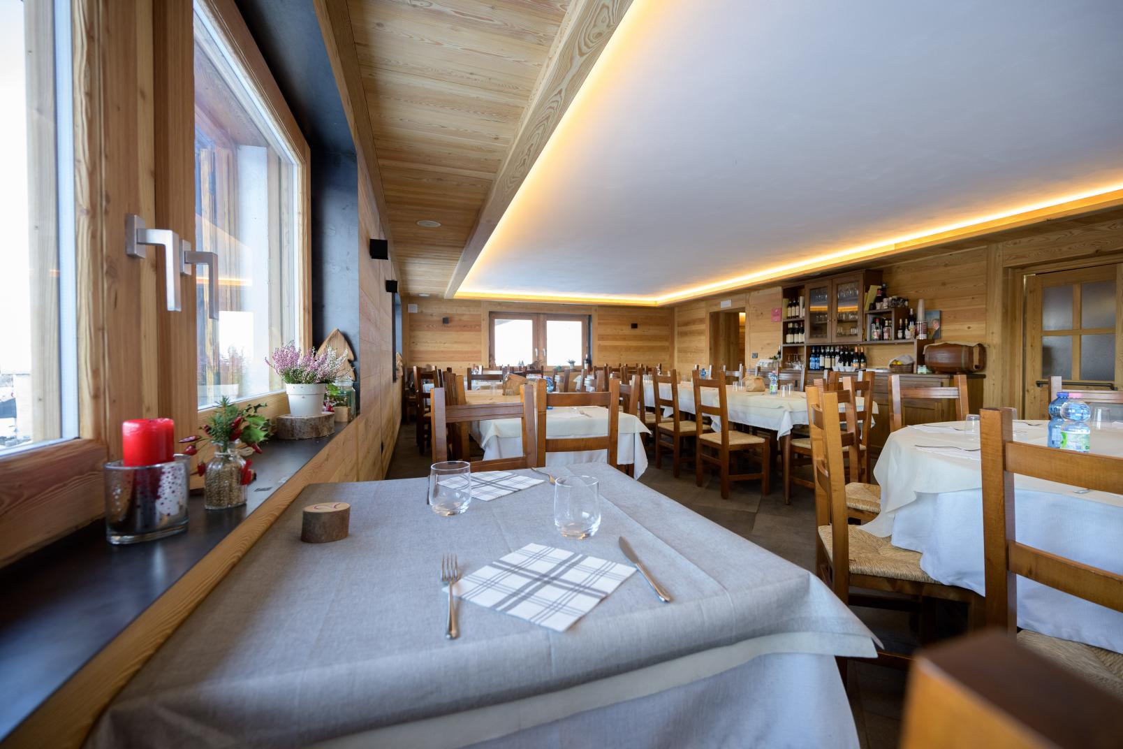
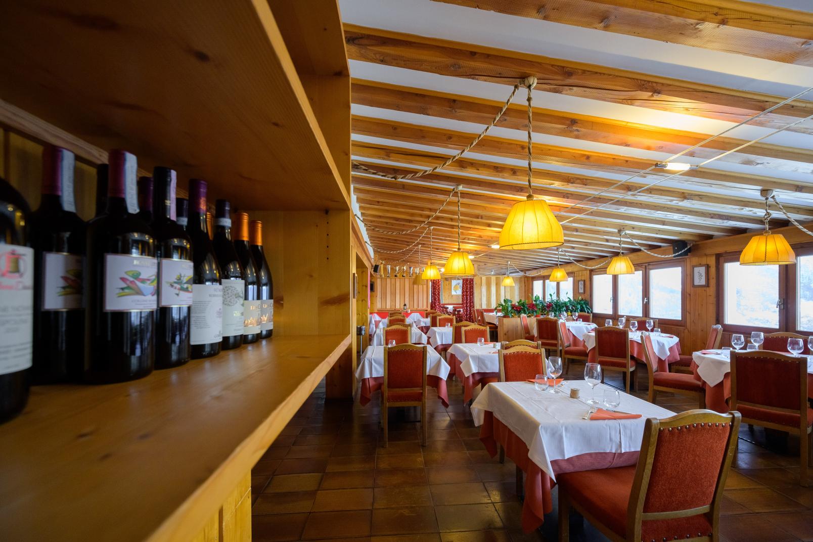
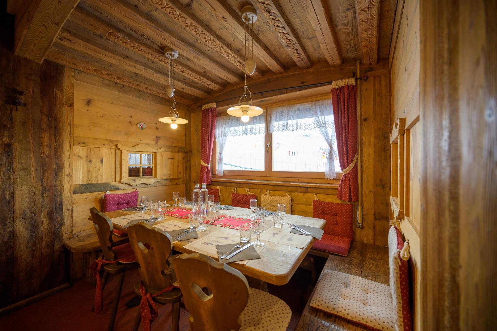
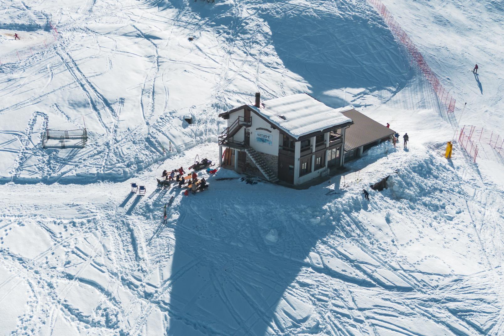
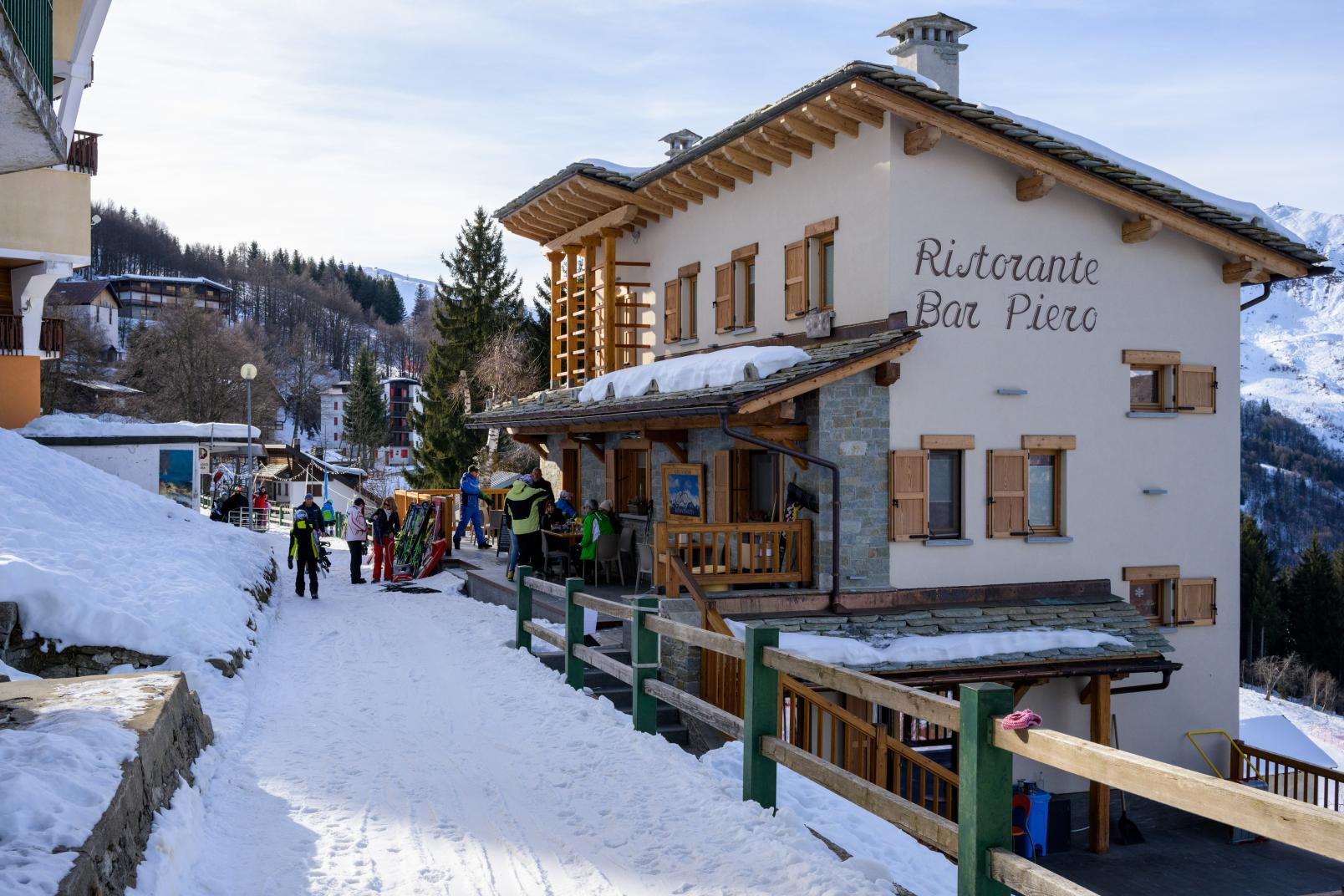
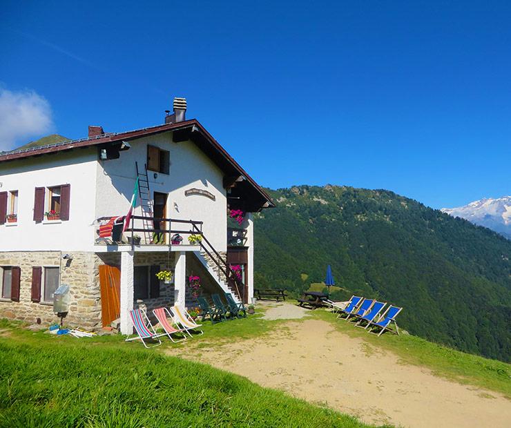
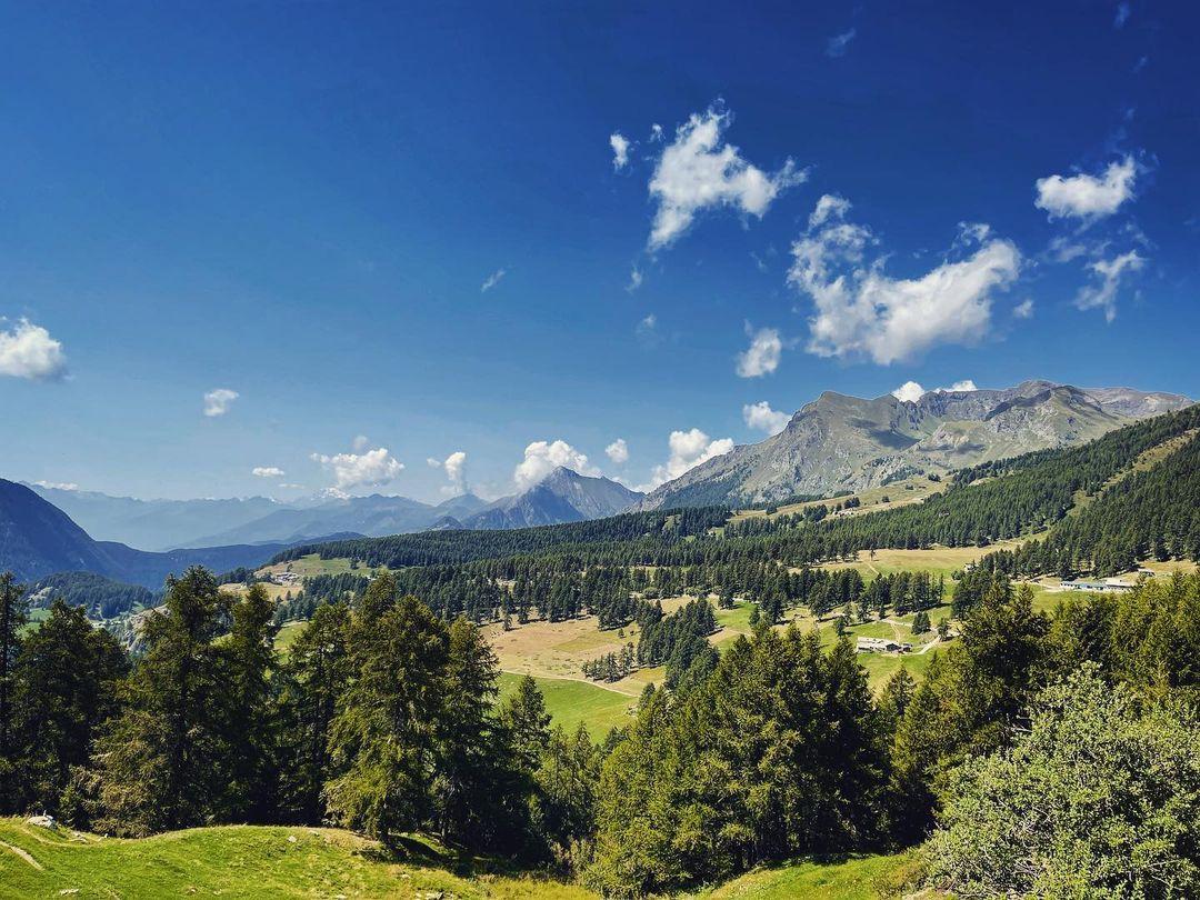
Long panoramic route, quite challenging, from the Alpe Trogo car park to the "Al Boschetto" refreshment point, through the forests of the eastern side of the Alpe di Mera. Itinerary in nature and silence, completely outside the skiable area. Return to the car park along the fuchsia and then yellow itineraries.
Itinerary details
Start: 1289 mt
Arrive: 1654 mt
Length: 3.8 Km
Height difference: 364 mt
Duration: 2 h
Difficulty: Fisical: medium Technique: medium
Period: recommended December-February
The route is not fully signposted. Follow the green signs that are located at the main points.
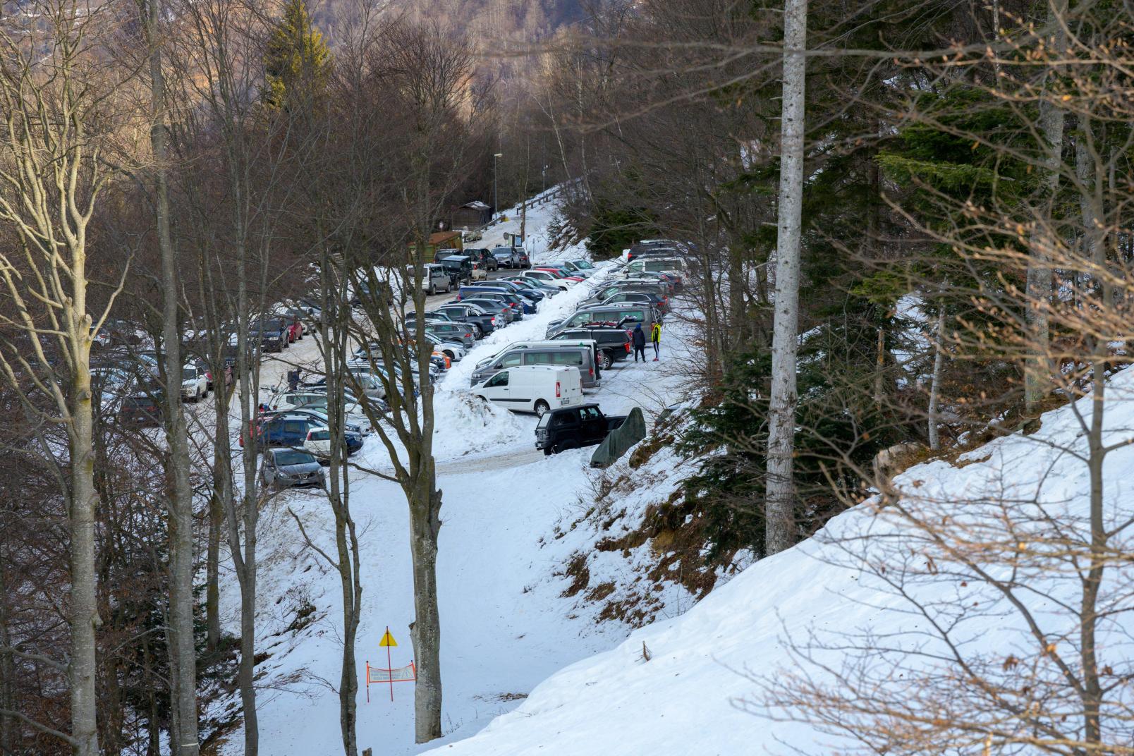
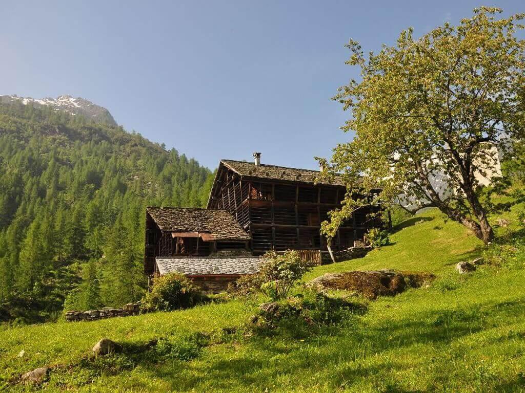
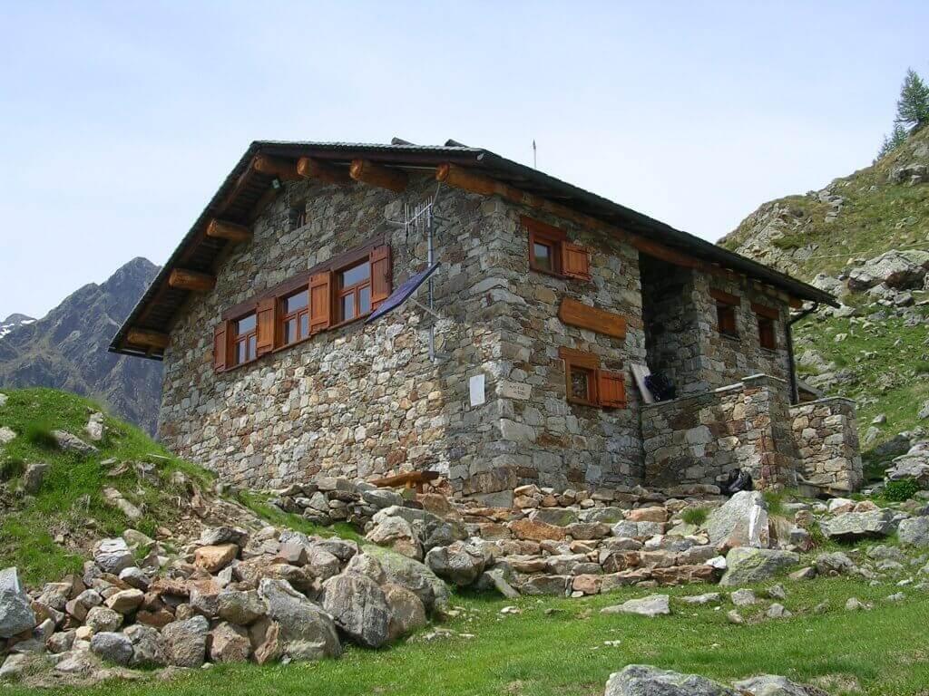
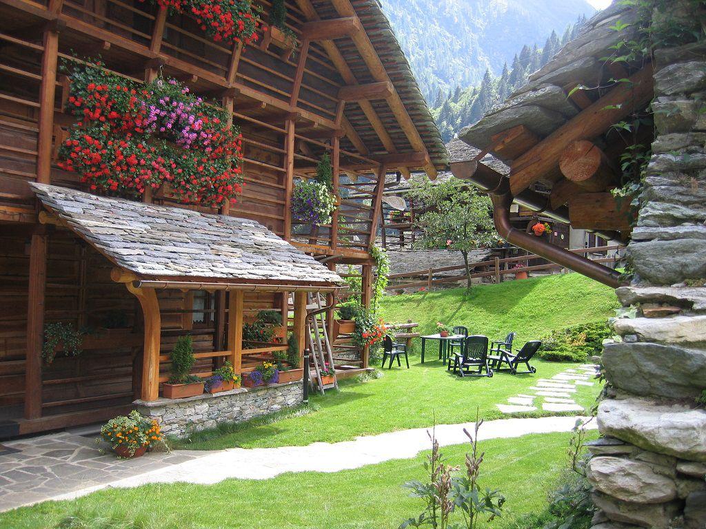
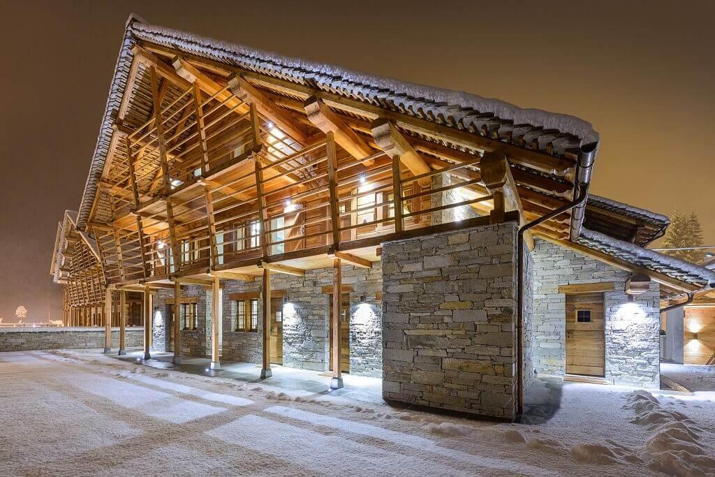
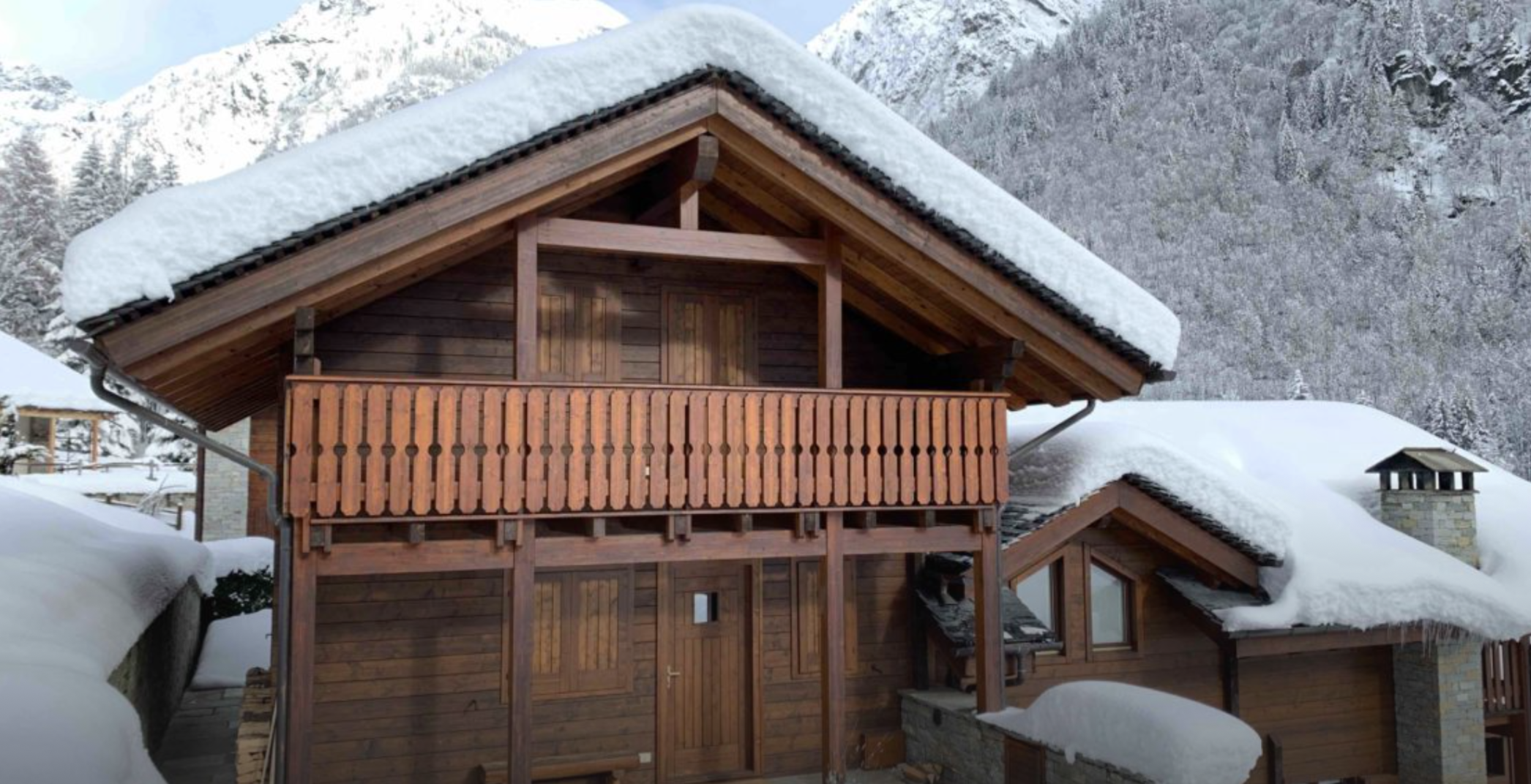
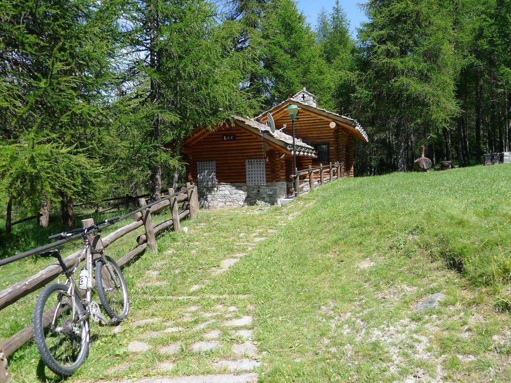
Once parked at Alpe Trogo, take the service road at the last bend (where the wooden house is). This is the road that leads to Alpe di Mera in summer, but in winter it remains snow-covered and can be traveled by snowmobiles.
Continue along the road until the third bend, where there is an information panel, take the forestry track to the left. From here continue to Bocchetta Boscarola, a crossing point between Valsesia and Valsessera, in the Biella area.
From here, follow the green sign and the CAI signs for the car park of the Alpe di Mera chairlift (path 233B).
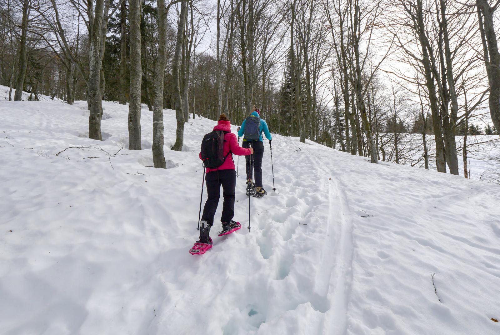
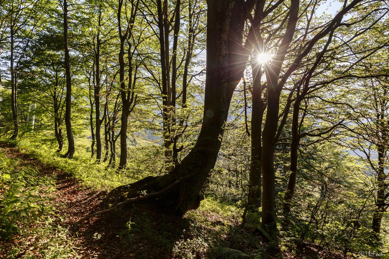
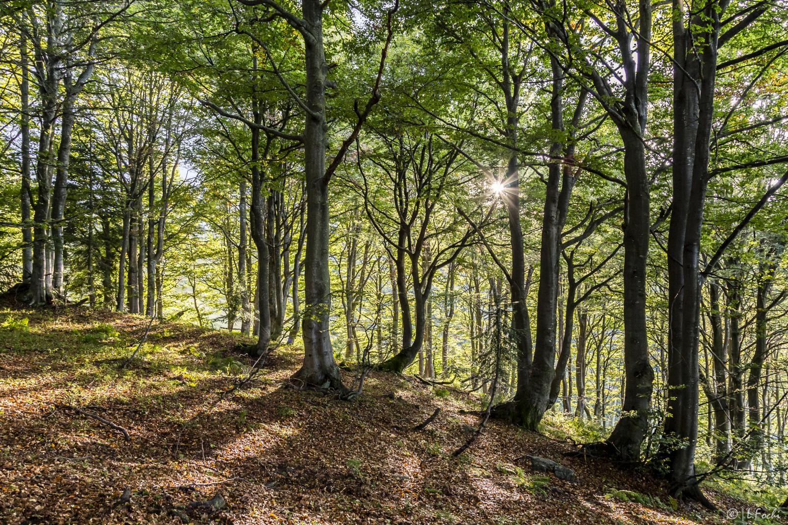
Follow the path in the dense beech forest until the green fork sign between the snowshoe path which continues up into the woods and the CAI path which continues towards the chairlift car park. To continue, then bend to the left going up into the woods, now thinner, weaving and gradually bending to the left until you reach the path on the crest (F24). From here a beautiful landscape opens up towards Val Sesserra, Bielmonte and Cima Mora. Since there is no basic path, the trail in the woods may vary over time and not correspond to the one on the map. Use the signs posted on the trees as a reference for direction.
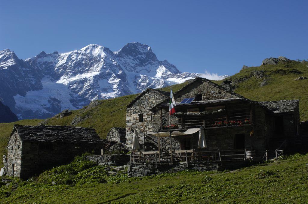
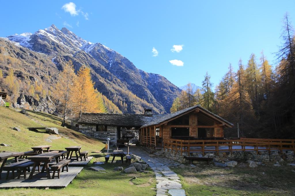
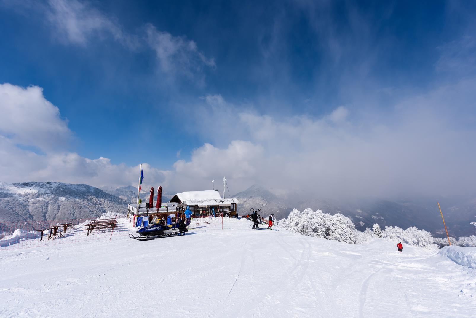
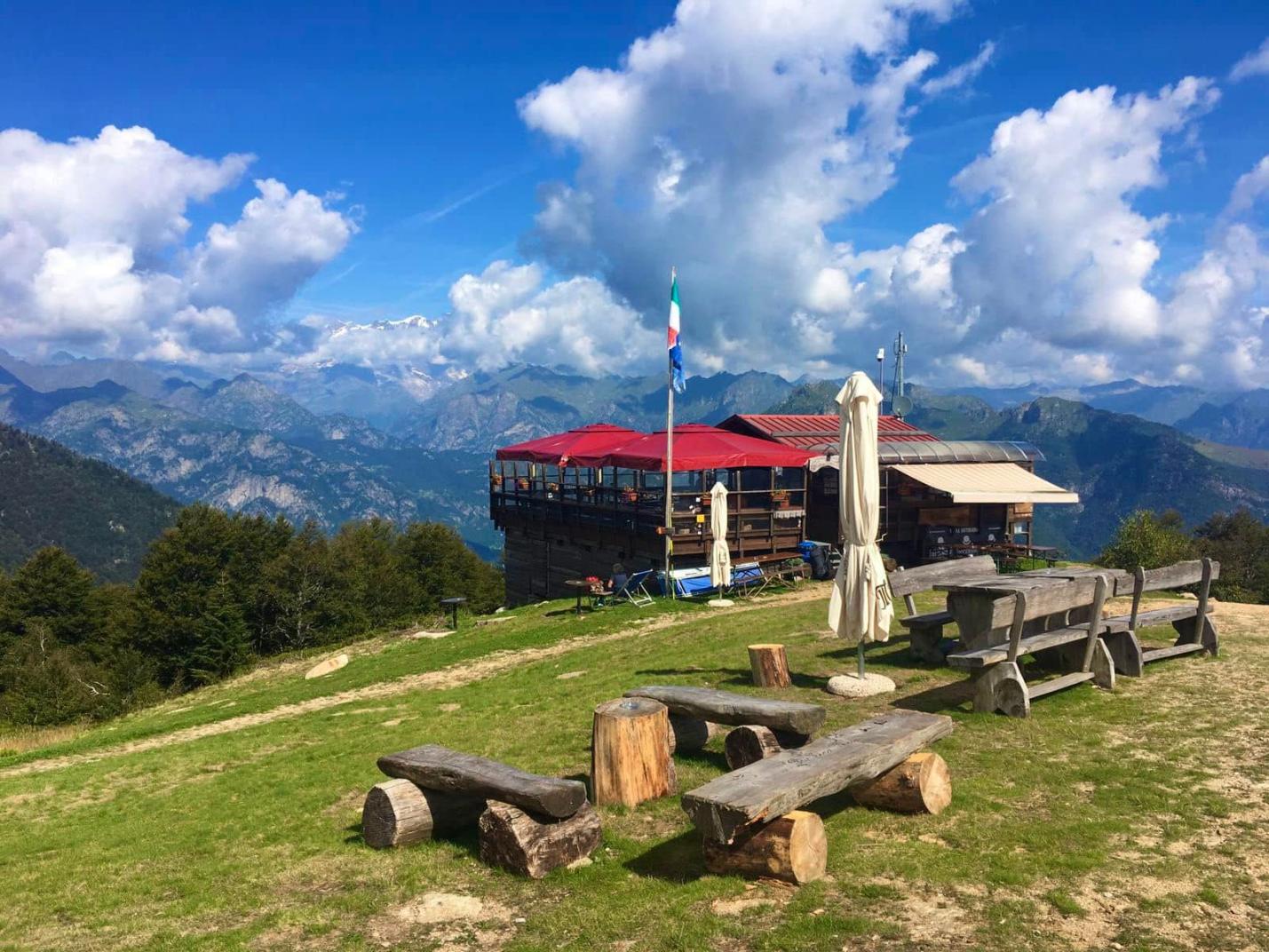
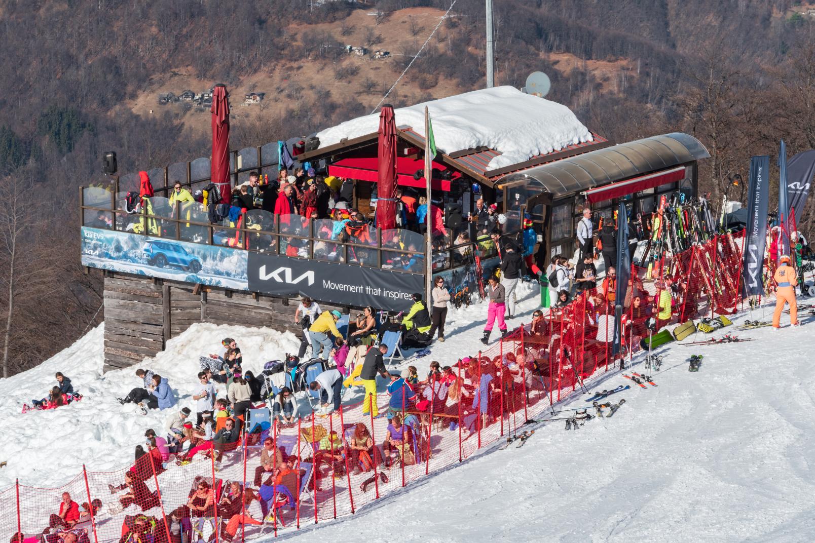
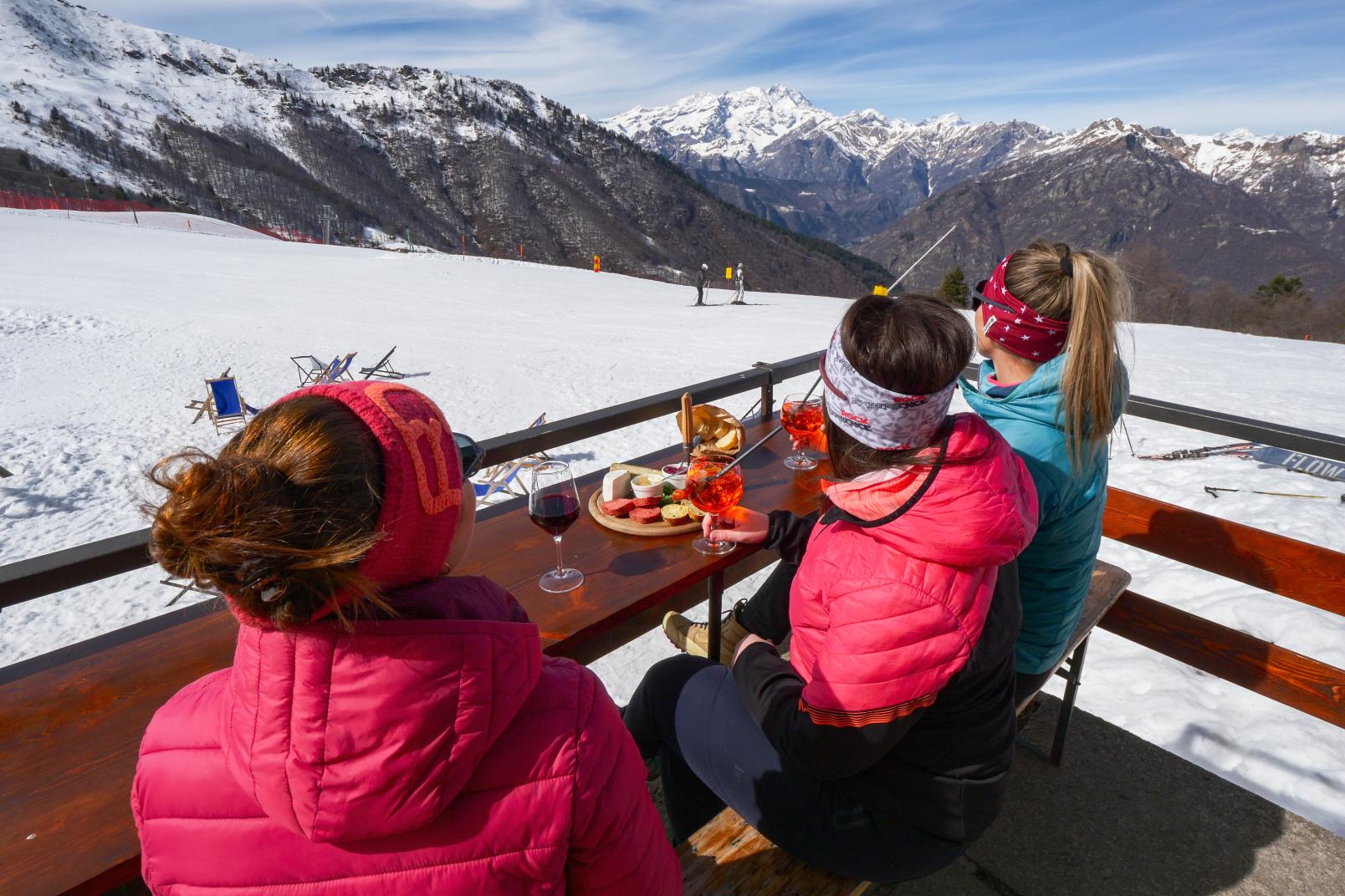
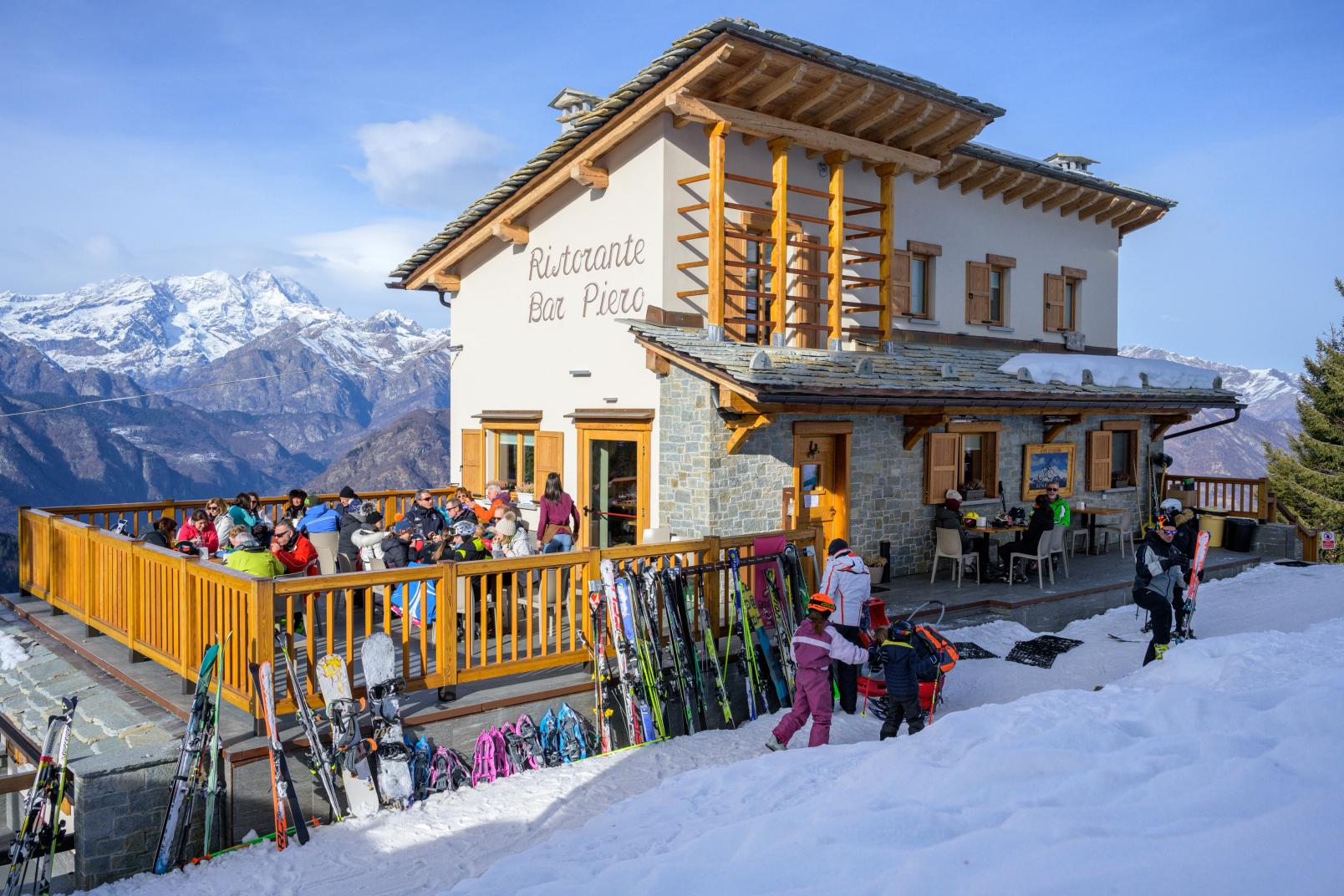
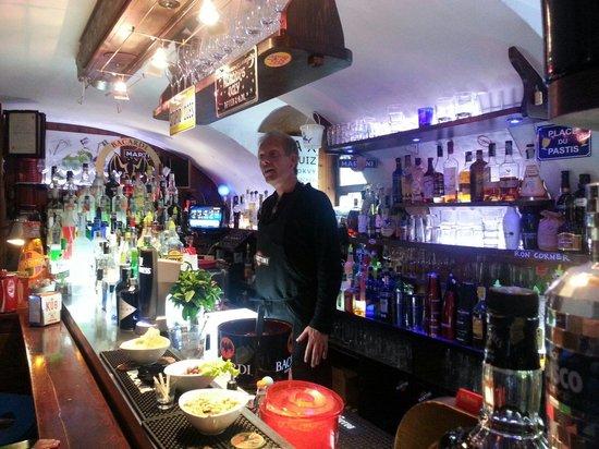
Continue for a short stretch on the ridge and then turn right, snowshoeing at the limit between the woods and the snowy slope until you reach the refreshment point on the "Al Boschetto" ski slopes halfway up the slope.
Be careful when crossing the ski slope, which is necessary to reach the refreshment point.
The return can be made using the FUCSIA snowshoe route, choosing the stretch in the woods; immediately under the refreshment point, or the section on the Boschetto slope (M7) towards the Mera-Scopello chairlift.
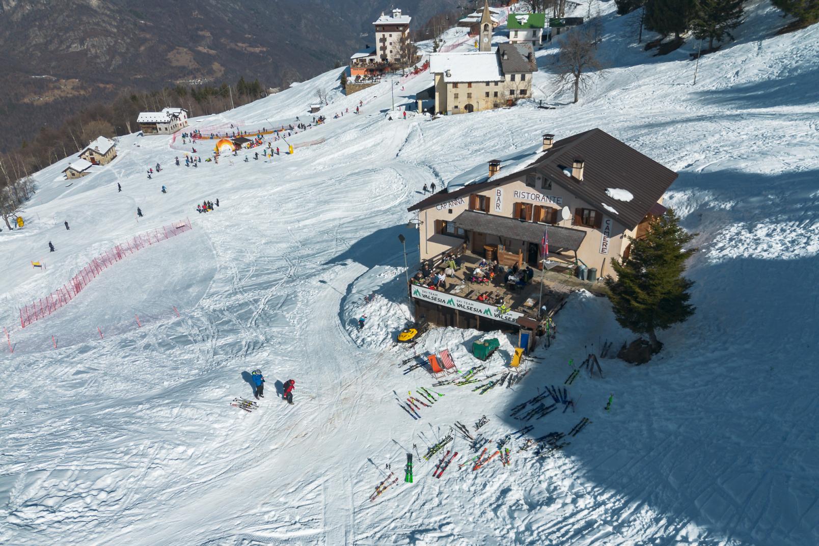
Once you reach the town of Mera, continue towards Alpe Trogo with the YELLOW snowshoe route. Also in this case you can choose between the western section, which you take going towards the Camparient chairlift along the low Camparient slope (M1b) or the eastern section, which you take under the Campo Scuola continuing towards the service road on the right.
Directions to follow
The route is not fully signposted. Follow the green signs that are located at the main points.
High Trogo parking. Snow-covered Trogo-Mera service road. Forest track up to the Bocchetta Boscarola. CAI path 233b up to the crossroads. Beech forest until you reach path F24 on the crest. Continue halfway up the hill on the border between the woods and the snowy slope until you reach the "Al Boschetto" refreshment point.
Author's advice
It is the most naturalistic route of the Alpe di Mera. A dive into the peace and silence of the winter mountains. Avoid the itinerary in the days immediately following heavy snowfalls as opening the trail in very deep fresh snow could be very tiring.
Safety instructions
ATTENTION! The ski slopes can only be crossed at the points indicated and only during the opening hours of the ski lifts.
It is absolutely forbidden to go uphill on the ski slopes in accordance with the provisions of the Regional Law. 2 /2009 and subsequent amendments.N.B. We decline any responsibility as the practice of activities off the slopes takes place at your own risk, in accordance with the provisions of the Regional Law. 2 /2009 and subsequent amendments.
Additional tips and recommendations
The route is not fully signposted. Follow the green signs which are located at the main points. Telephone coverage may be poor. It is therefore advisable to download the map or track for consultation in offline mode in order to frequently check the position with respect to the track. Since there is no basic path, some of the sections in the woods may vary over time and not correspond to those on the map. Use the signs posted on the trees as a reference for direction.
Equipment
Snowshoes and poles. Onion layered clothing. Once you reach the ridge it could be much colder and windier than the initial stretch in the woods.

