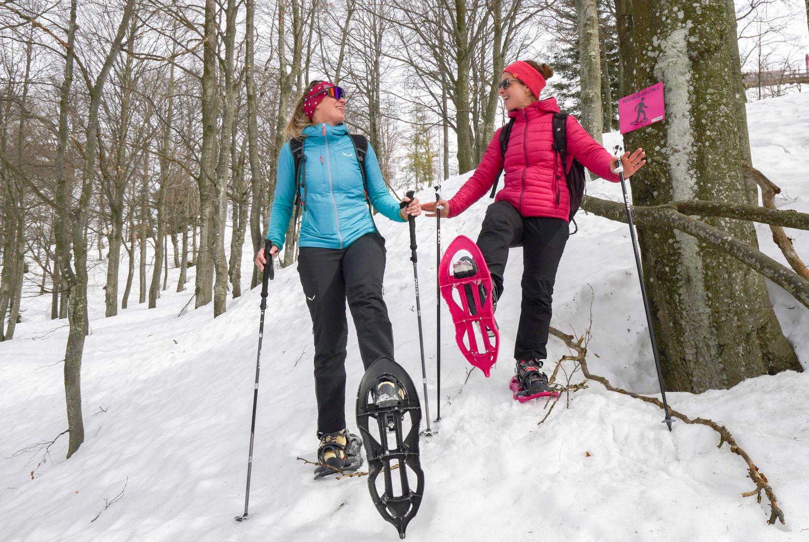
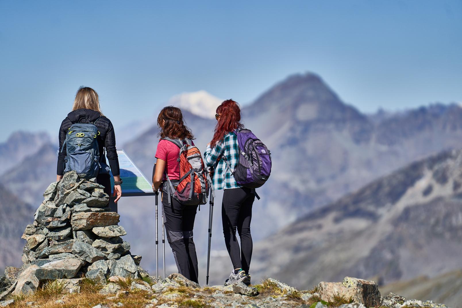
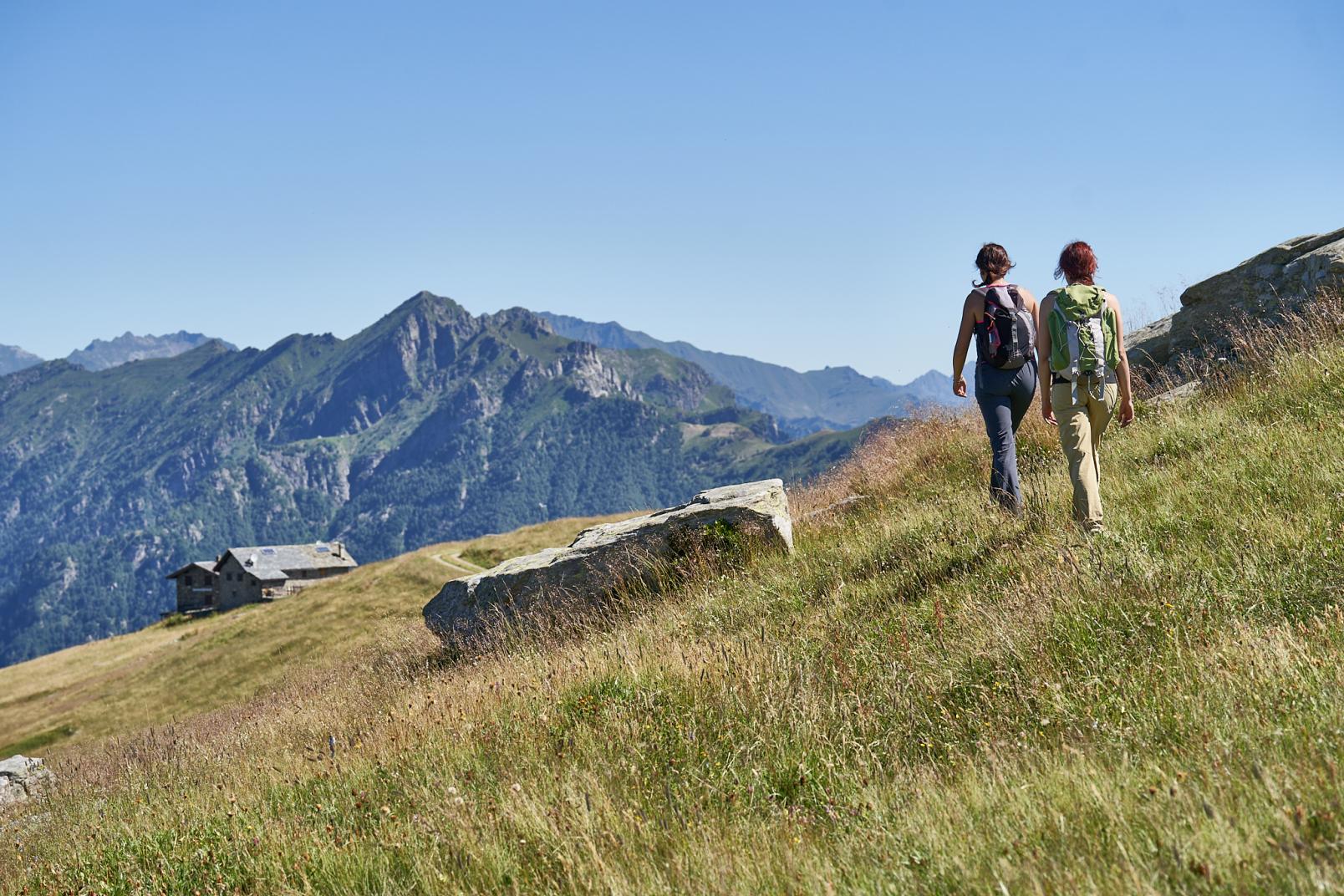
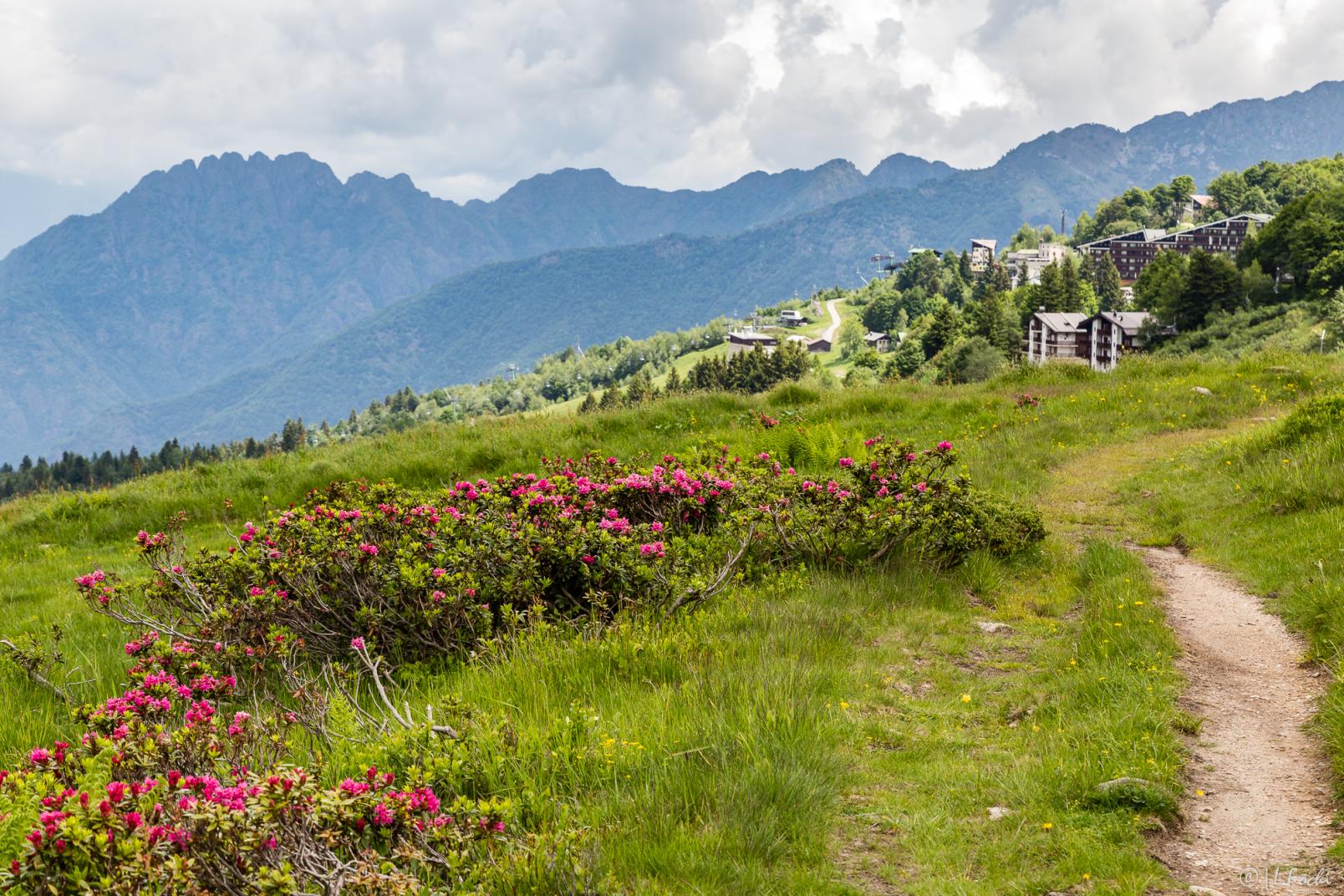
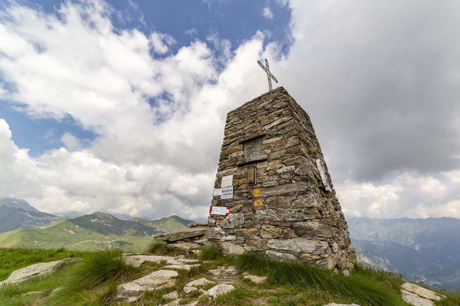
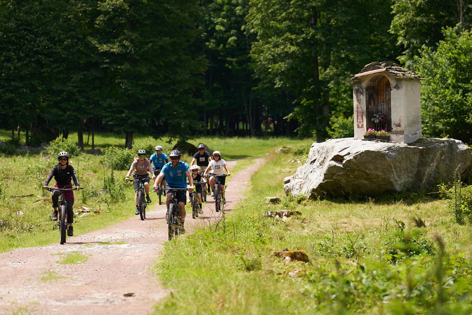
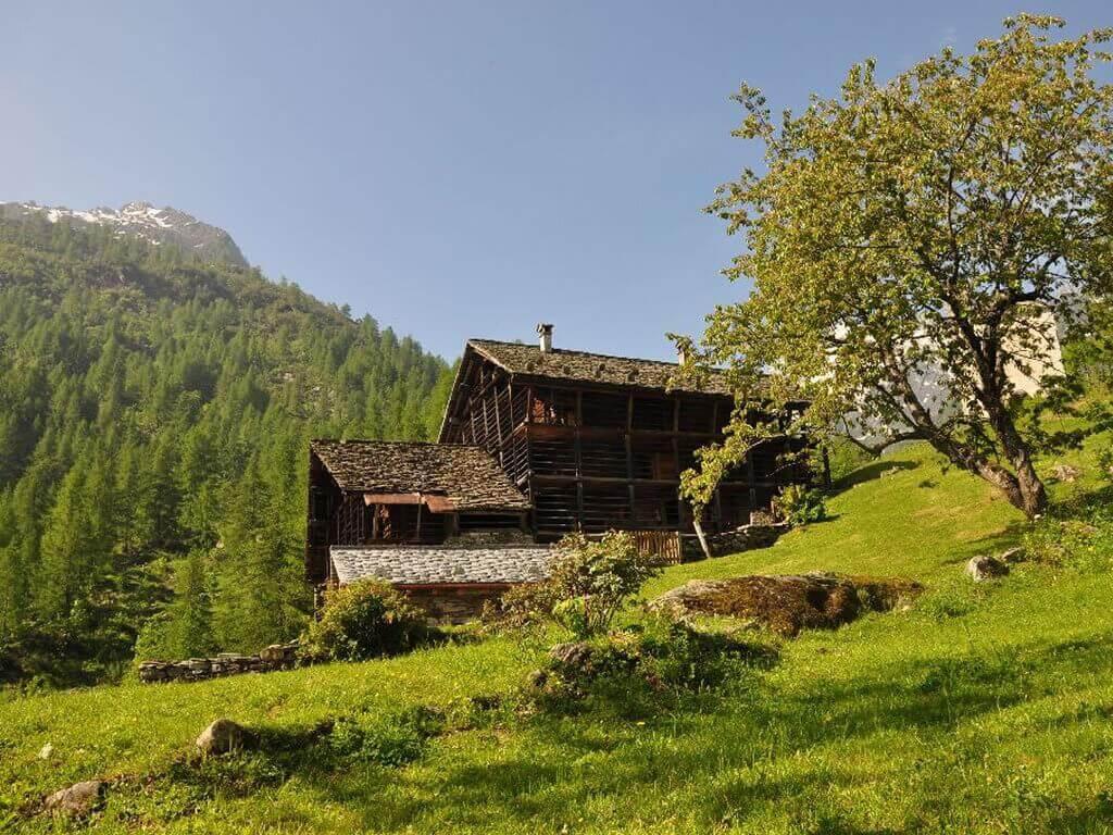
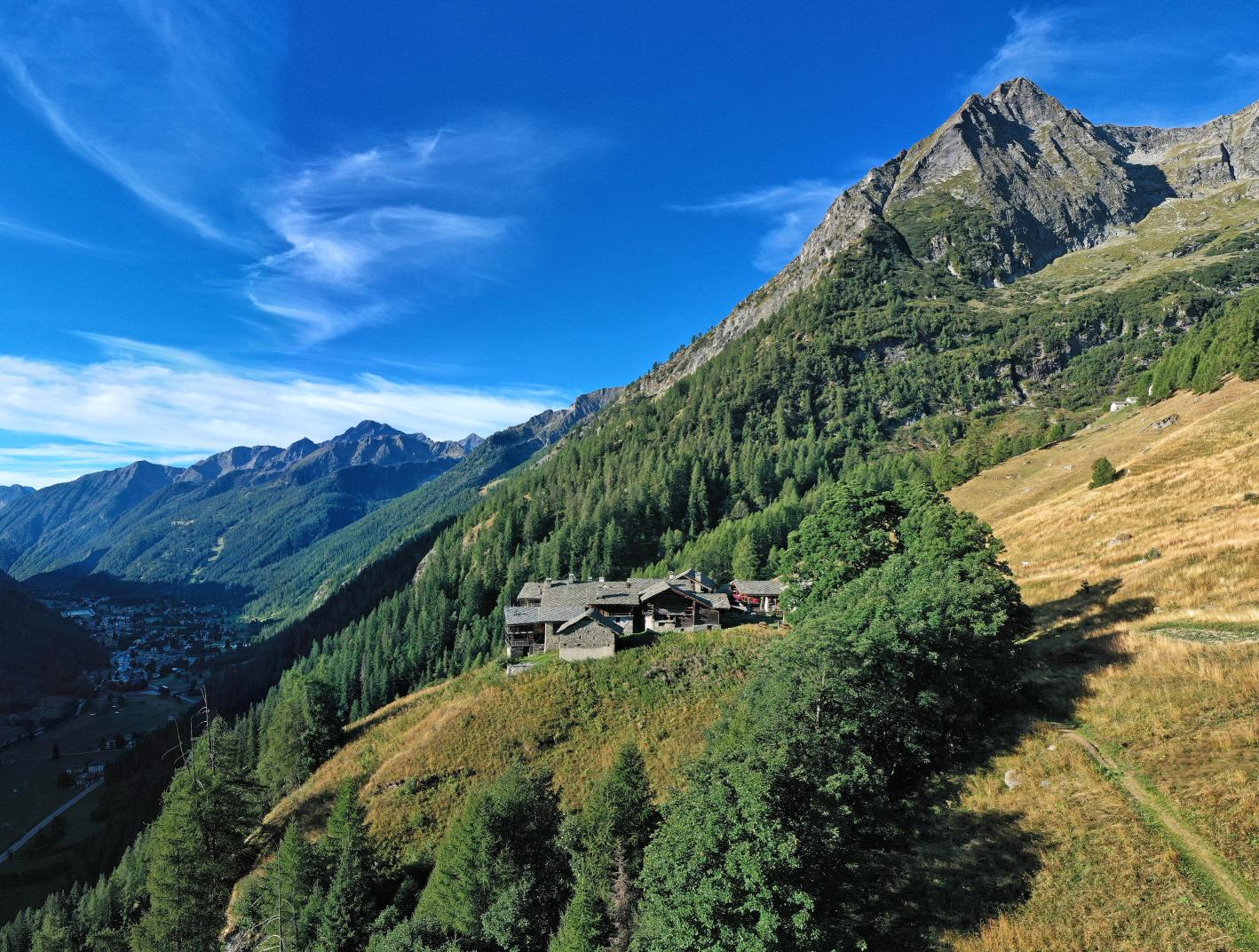
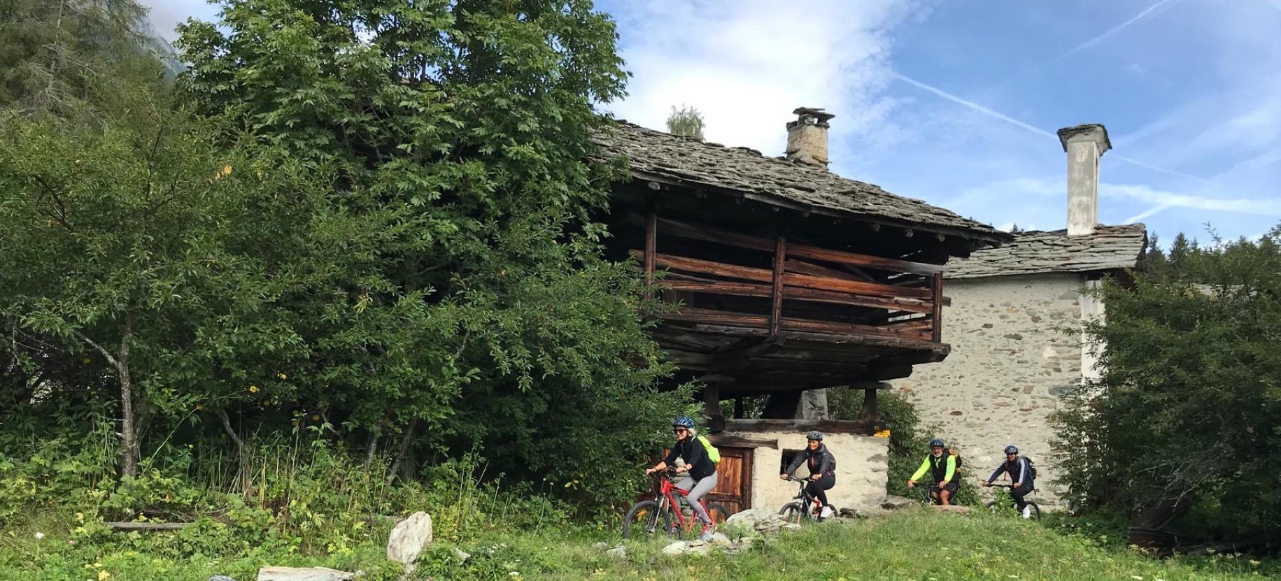
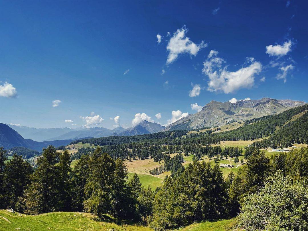
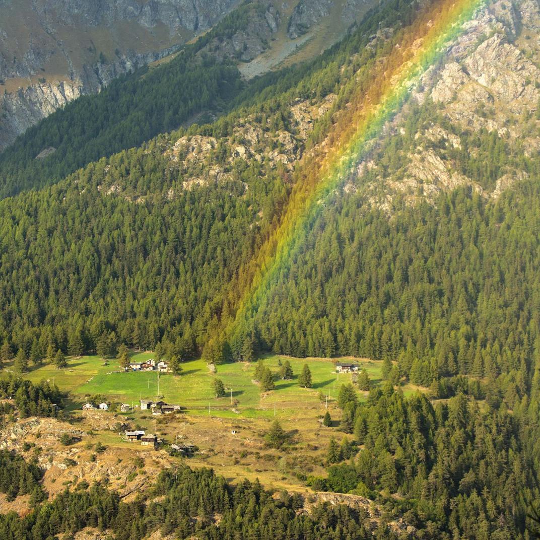
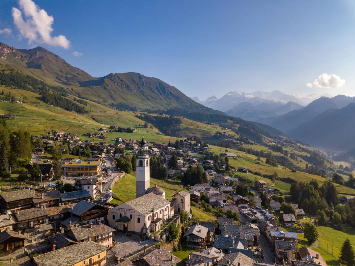
It is the main route that allows you to reach the village of Alpe di Mera from the high-altitude car park of Alpe Trogo.
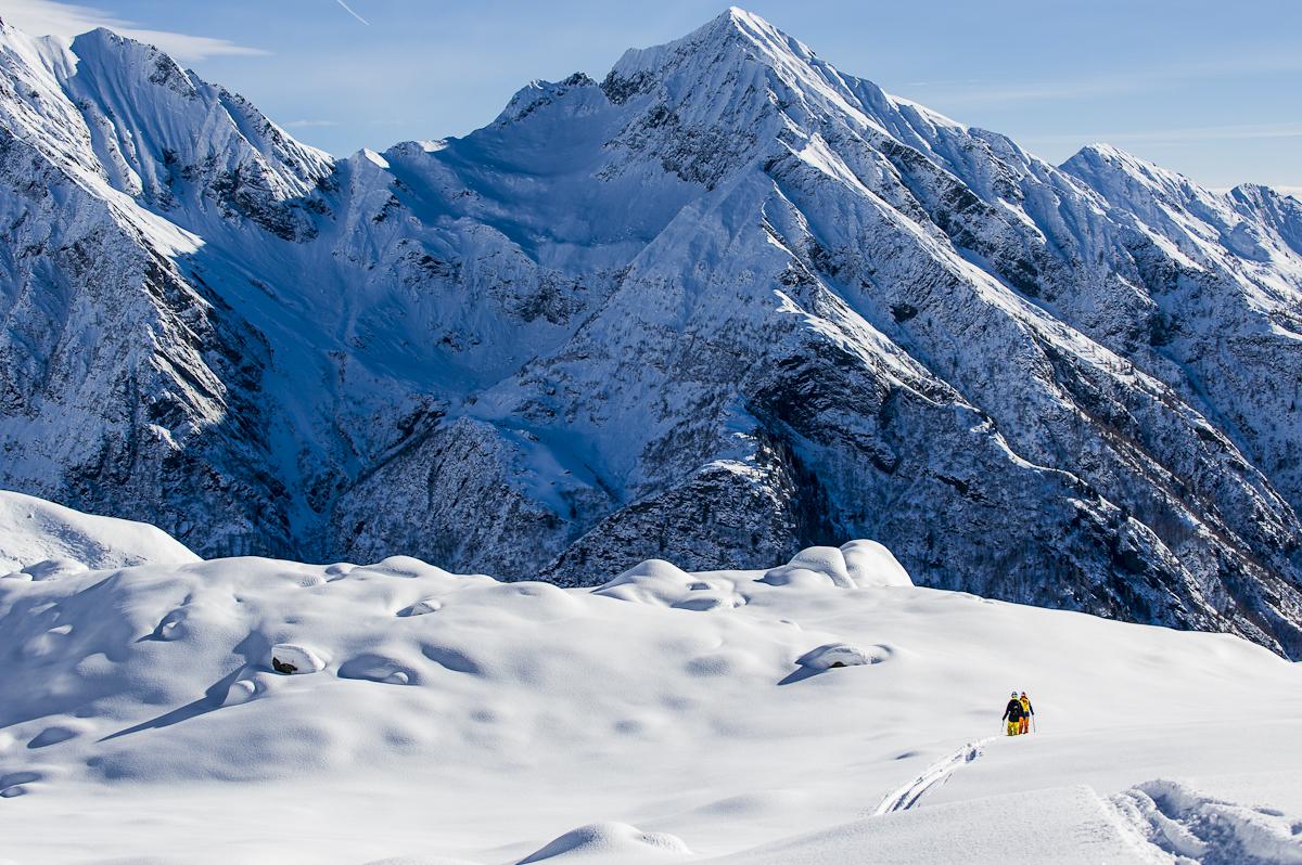
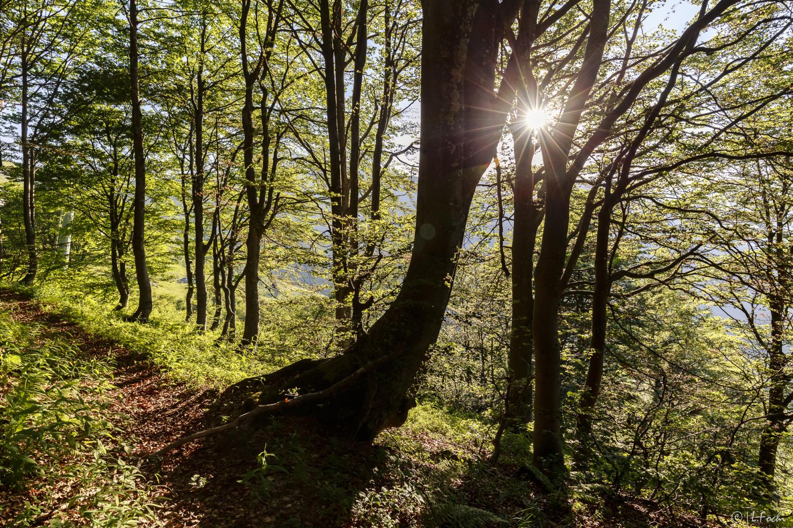
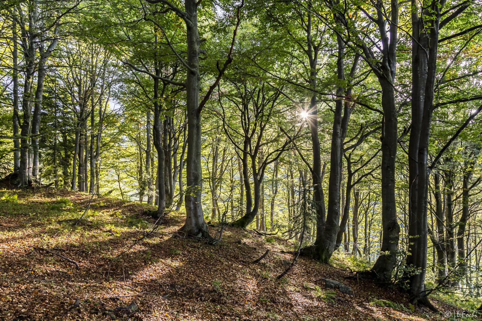
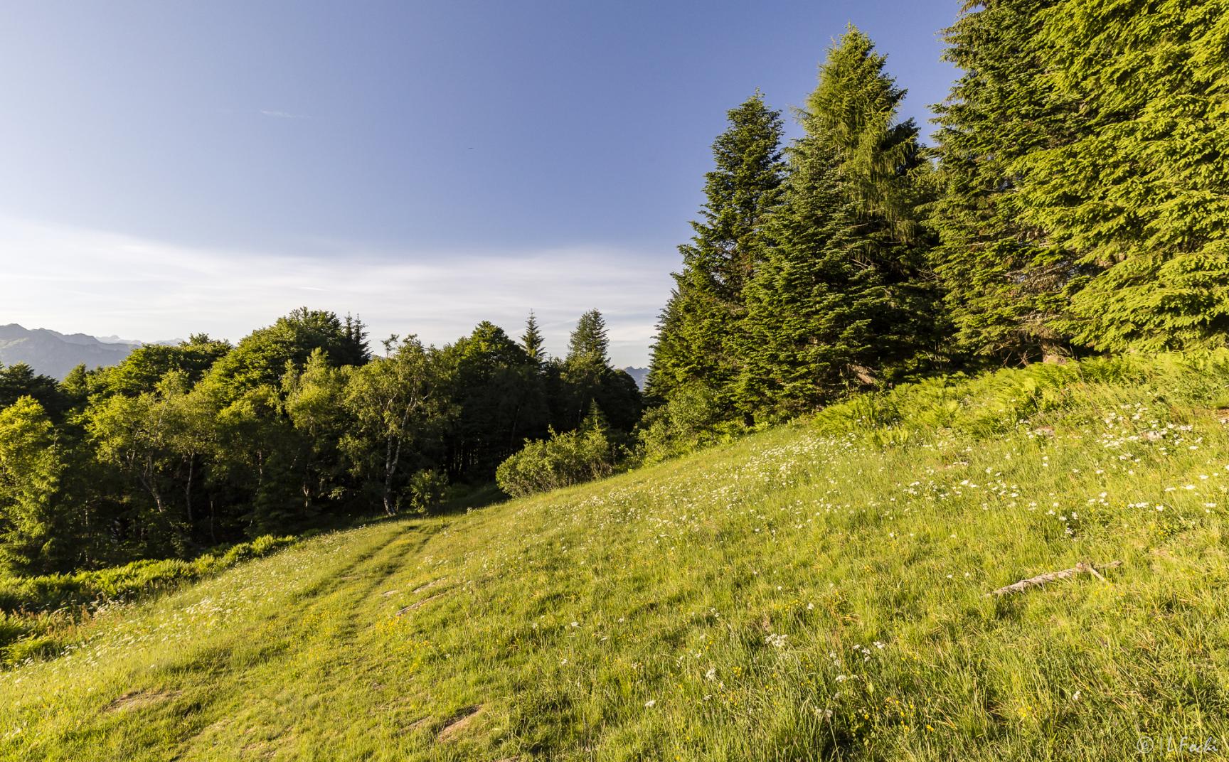
Itinerary almost entirely in the woods, moderately challenging, depending on snow conditions.
Itinerary details
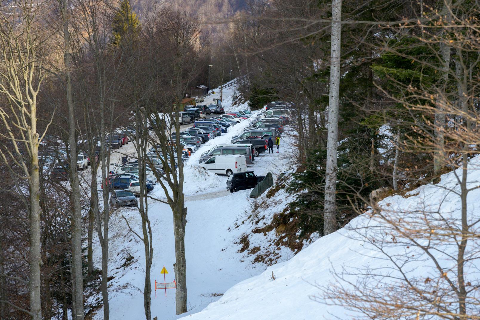
Start: Trogo parking
Arrive: Alpe of Mera
Lenght: Km. 2.9
Height difference:: 772 mt.
Duration: 4/4,5 h
Difficulty: Fisical: : medium Technique: easy
Period:recommended December-February
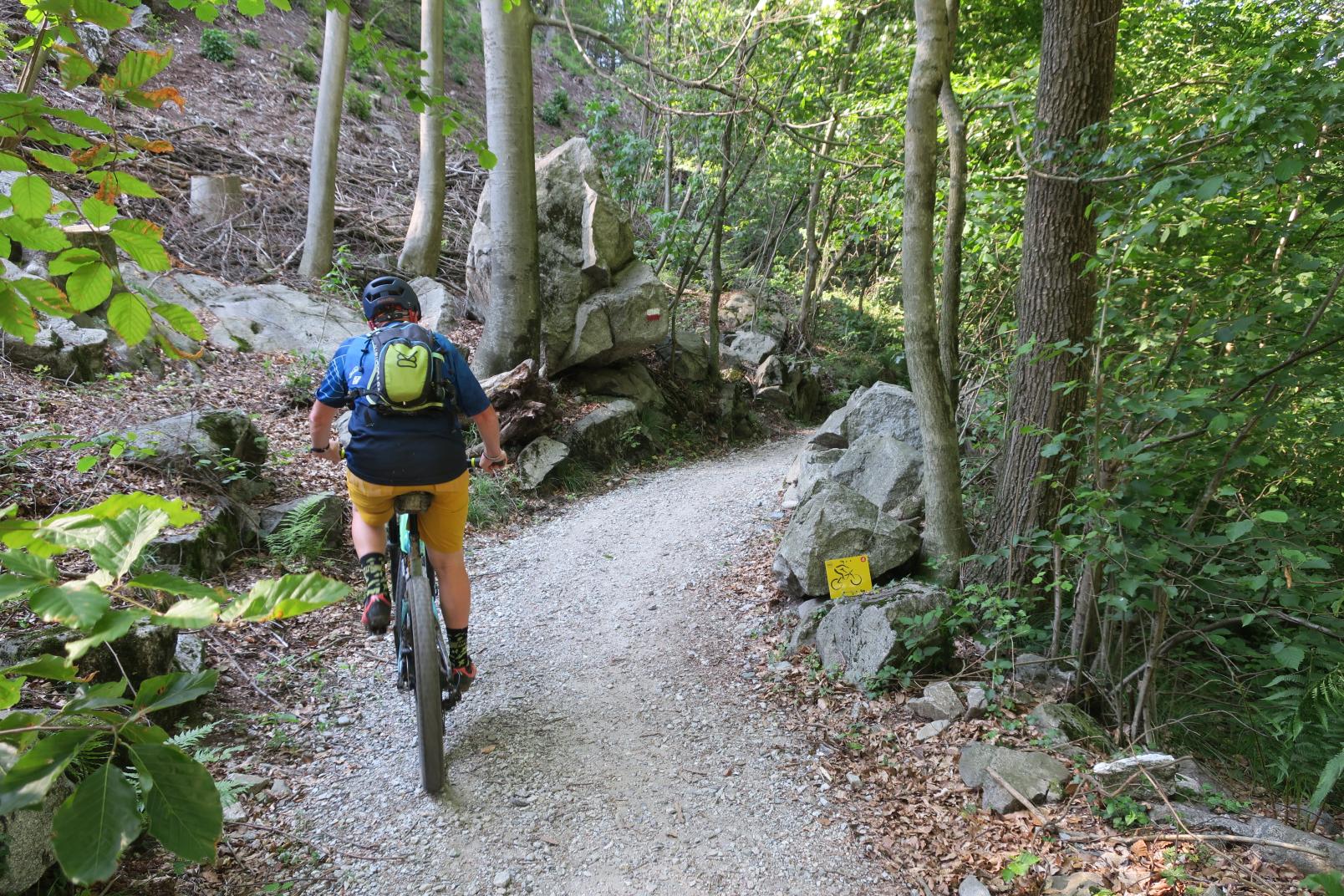
The route is not fully signposted. Follow the yellow signs that are located at the main points.
From the Trogo Alto car park, at Alpe Trogo, take the service road located at the end of the car park on the left.
Pay close attention when crossing the Trogo ski slope (M17).
Pass under the Scopello-Mera chairlift and then under the Capricorno chairlift until crossing the Capricorno slope (M15).
Also cross the Rastò track (M16) at the signs and take the path into the woods.
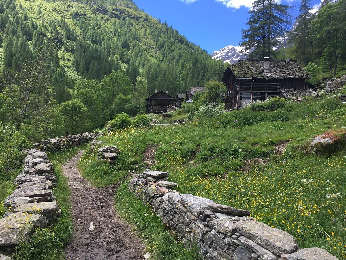
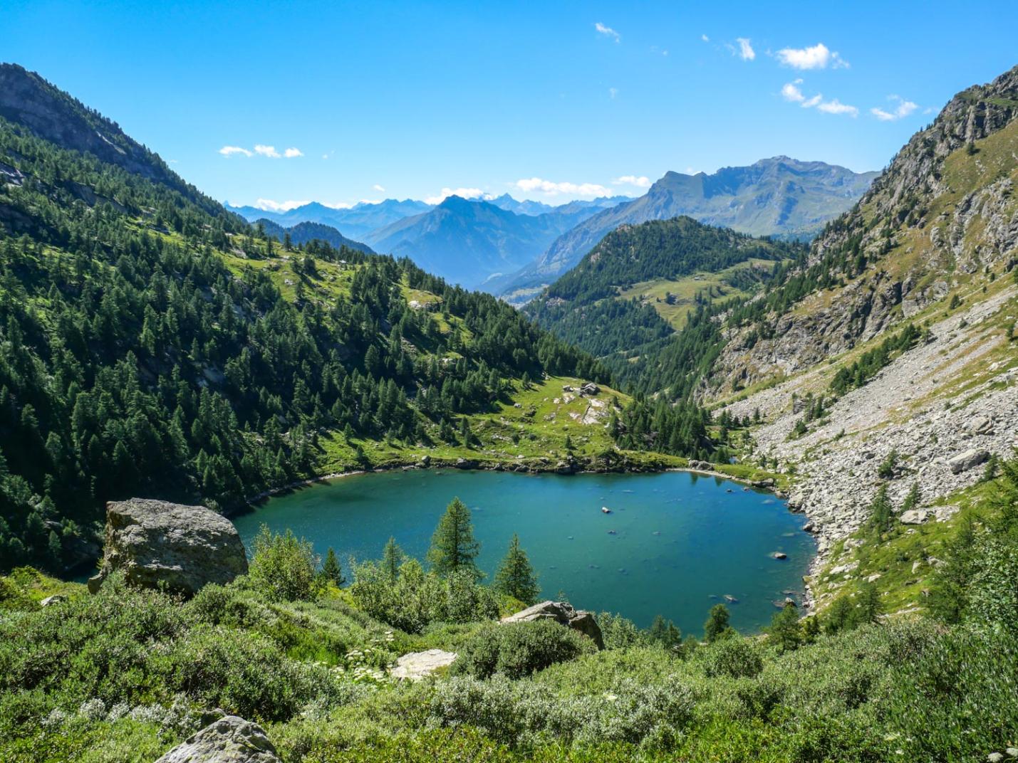
Continue through the woods until you reach the huts and then go up towards the left. When you arrive at the Raccordo Pianaccia slope (M18a), turn left along the path and follow the CAI 236 path into the woods, leaving the artificial lake on the right, until the exit onto the Camparient lower slope (M1b).
Continue along the left edge of the low Camparient slope (M1b), taking great care to always stay to the side and not to invade the ski slope.
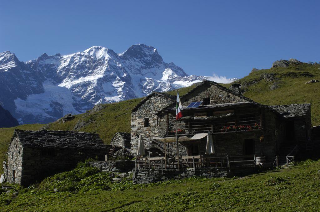
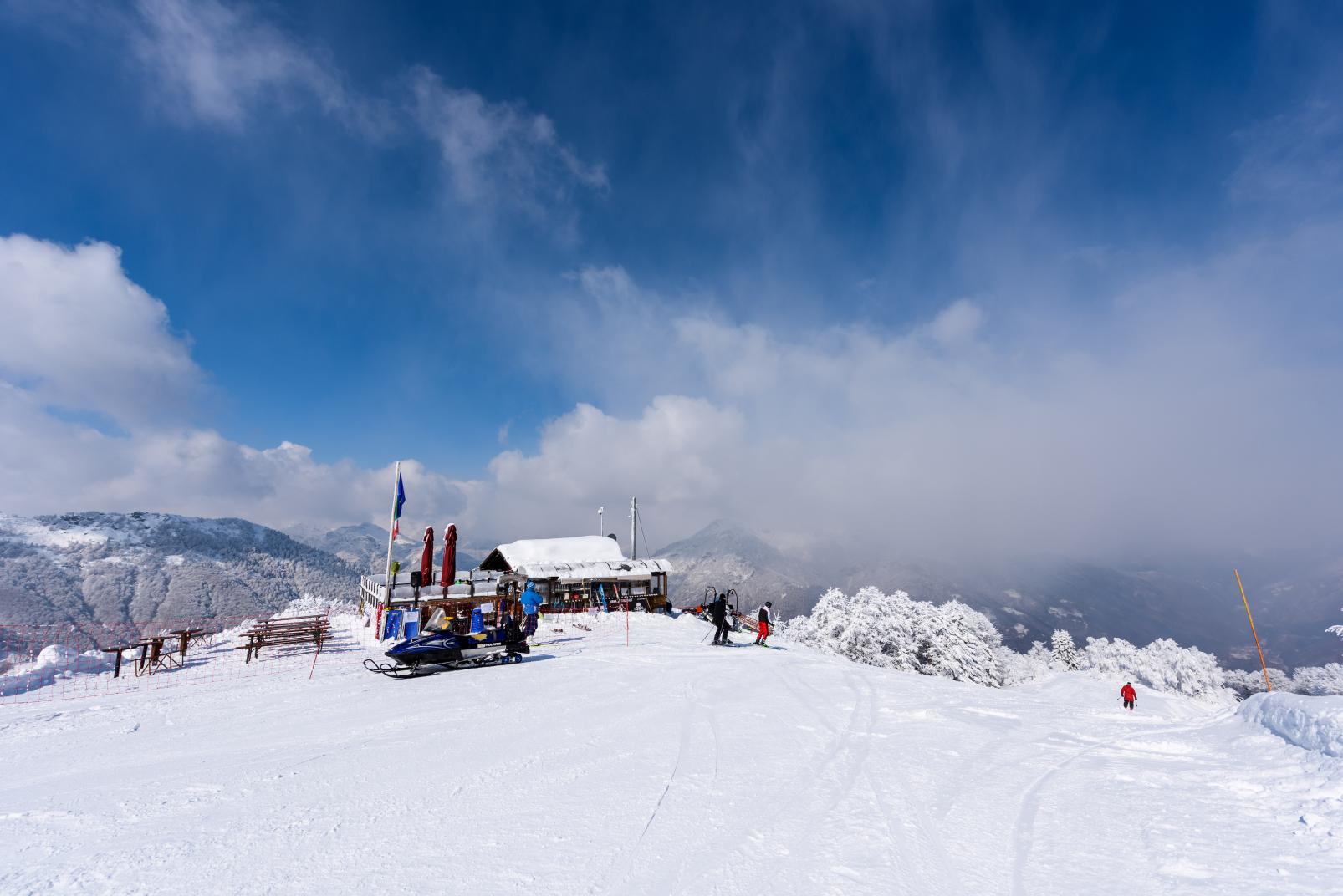
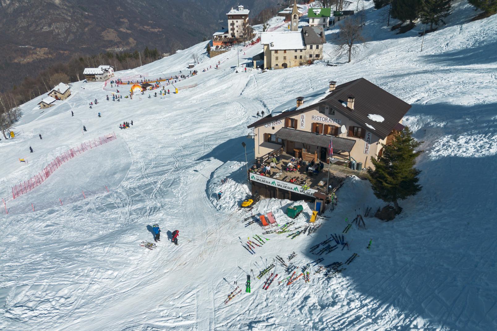
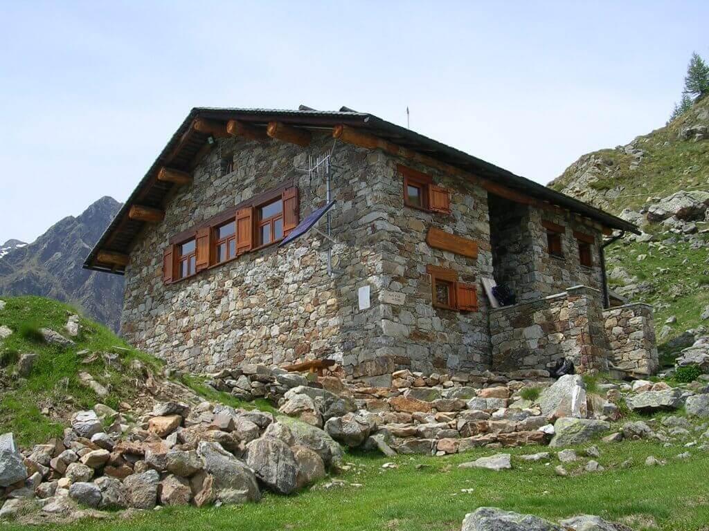
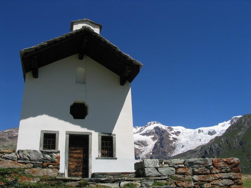
Once you arrive at the Campo Scuola, cross the track at the signs to reach the Oratory of the Madonna della Neve dell'Alpe di Mera.
The return route begins under the School Camp, taking the service road on the left that runs alongside the houses. Continue along the road until the signs instruct you to turn left into the woods, leaving the road.
Zizzare in the woods downhill, first to the left and then to the right. You will then reach the outward path in the woods which you will follow backwards to reach the starting point.
Directions to follow
Parking Trogo Other. Crossing the Trogo, Capricorno and Rastò slopes. Forest road towards Pianaggia. Go back towards the artificial lake. Continue along the edge of the lower Camparient track, up to the school field and then to the Mera Oratory.
Return along the Mera-Trogo service road, to cross the woods downhill until resuming the forest track used on the outward journey.
Safety instructions
ATTENTION! The ski slopes can only be crossed at the points indicated and only during the opening hours of the ski lifts.
It is absolutely forbidden to go uphill on the ski slopes in accordance with the provisions of the Regional Law. 2 /2009 and subsequent amendments.N.B. We decline any responsibility as the practice of activities off the slopes takes place at your own risk, in accordance with the provisions of the Regional Law. 2 /2009 and subsequent amendments.
Additional tips and recommendations
The route is not fully signposted. Follow the green signs which are located at the main points. Telephone coverage may be poor. It is therefore advisable to download the map or track for consultation in offline mode in order to frequently check the position with respect to the track. Since there is no basic path, some of the sections in the woods may vary over time and not correspond to those on the map. Use the signs posted on the trees as a reference for direction.
Equipment
Snowshoes and poles. Onion layered clothing. Once you reach the ridge it could be much colder and windier than the initial stretch in the woods.

