Valle di Gressoney

Gressoney-Saint-Jean

Gressoney-La-Trinité

Fontainemore

Snowshoeing circuits – Gressoney

To discover unique panoramas and charming corners

By: Visit Monterosa

Ciaspole a Gressoney

The Gressoney Valley has a number of trails for snowshoeing

The range of trails is spread over three different territories and offers a wide choice of itineraries. Starting with the routes near Coumarial, in the municipality of Fontainemore, and ending with the tracks in the territory of Gressoney-La-Trinité.

Three different environments three different experiences that will take you to explore winter landscapes immersed in the peace and quiet of our mountains.


Snowshoeing Itinerary

Snowshoeing Itinerary

Snowshoeing Itinerary

Snowshoeing Itinerary

Snowshoeing Itinerary

Snowshoeing Itinerary

Trails in Gressoney-Saint-Jean


There are two main itineraries in the municipality of Gressoney-Saint-Jean 

- The Green itinerary starts near the golf course in the hamlet of Bino and runs along the Dresal plain alongside the cross-country ski track, then crosses a bridge near the electric power station, from here a short climb will take you to the hamlet of Rong where you continue downhill towards the hamlet of Perletoa return to the starting point via Tschemenoal. The route has a total length of 4 km.

- With a total length of 4.5 km, the Red Trail starts at Lake Gover and follows the cross-country track and continues uphill on a section of the Queen's Promenade in the direction of Savoy Castle. Here we have the option of walking a 1.8 km circuit or continuing in the direction of Weissmatten to end our route near the Bar Sport in Tschoarde.


Download the track map

Trails in Gressoney-La-Trinité

Gressoney-La-Trinité offers a single trail starting from the pretty little central square near the tourist office, here after a good coffee at the Bar Castore you will be ready for an easy tour suitable for everyone, a smooth track that crosses the beautiful field next to the Hotel Lo Scoiattolo, a half-moon will take you alongside a row of pine trees, after which you will enter a small road that runs alongside the stream to reach the start of the cross-country track which, taking care not to step on the tracks, you will be able to walk along for its entire length before returning to the starting point. The duration of the complete track is around 3 km.


Download the track map

Trails in Fontainemore

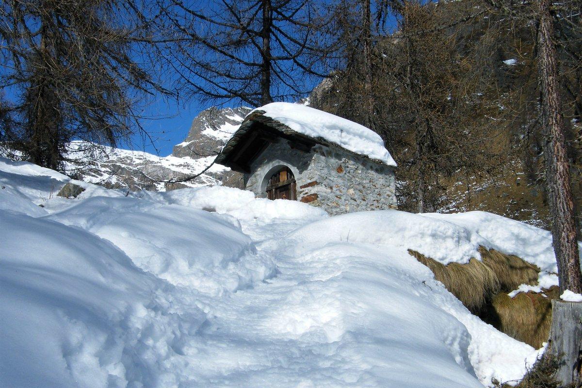
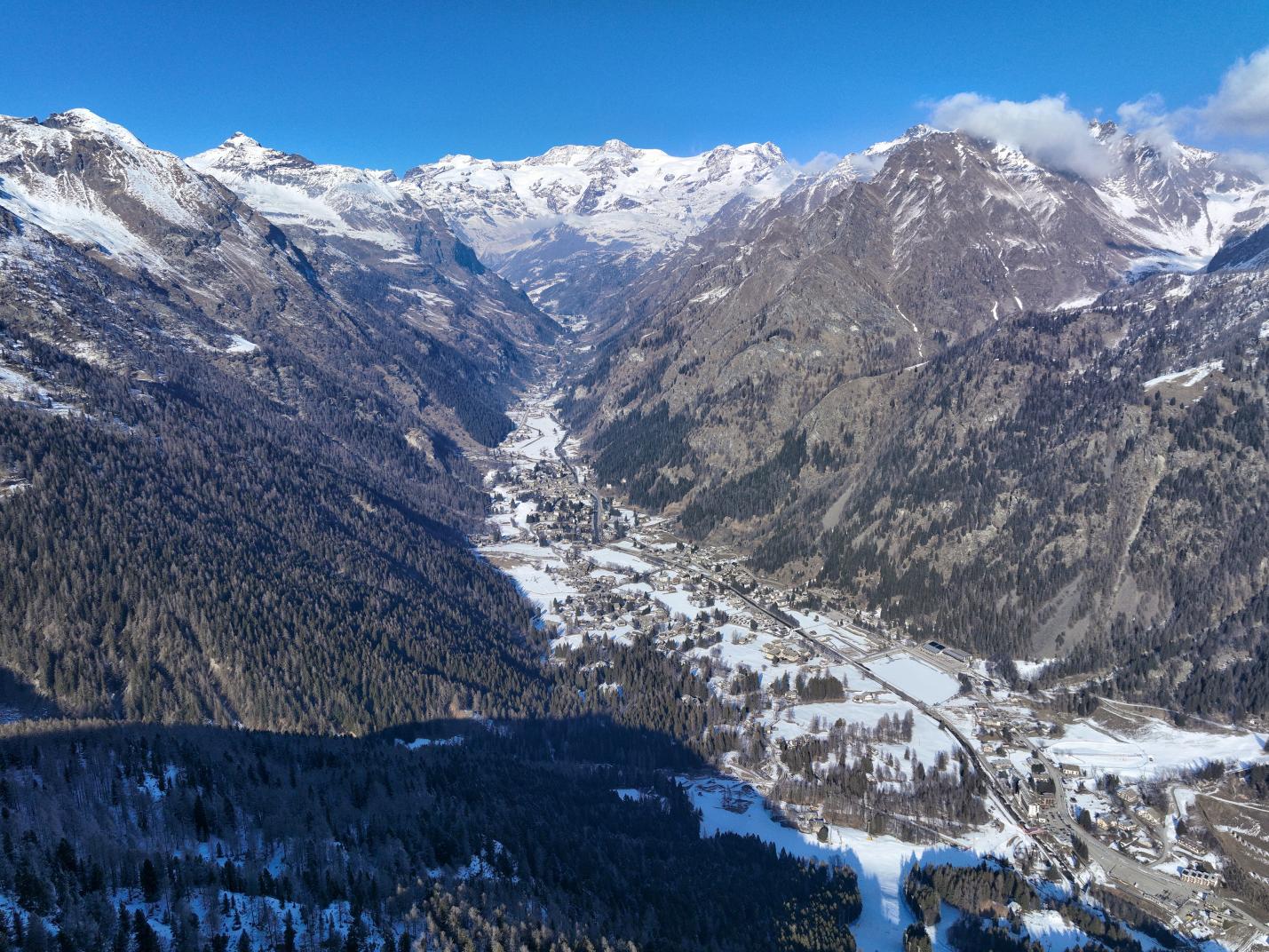
In the village of Fontainemore, in the hamlet of Coumarial, we have a choice of three different circular routes

- The Green Route, starting from the Coumarial car park, is an itinerary with an altitude gain of 340m, which passes through the hamlet of Vercosa at 1600m and continues towards Croux, before descending through a beautiful forest of pine and larch trees and returning to the starting point. The total duration of the route is around 2 hours.

- The Red Route, the loop which reaches the highest altitude of the three, starts from Leretta at 1788m and continues to Pian du Juc 2043m, from here, after a stop to admire the stunning landscape, it descends to Crest at 1918m, passing through Estroubbia before arriving at Creux. From here, either complete the loop back to Leretta or choose to return to Coumarial car park and join the Green Route. Total duration of the route approx. 2:15 h.

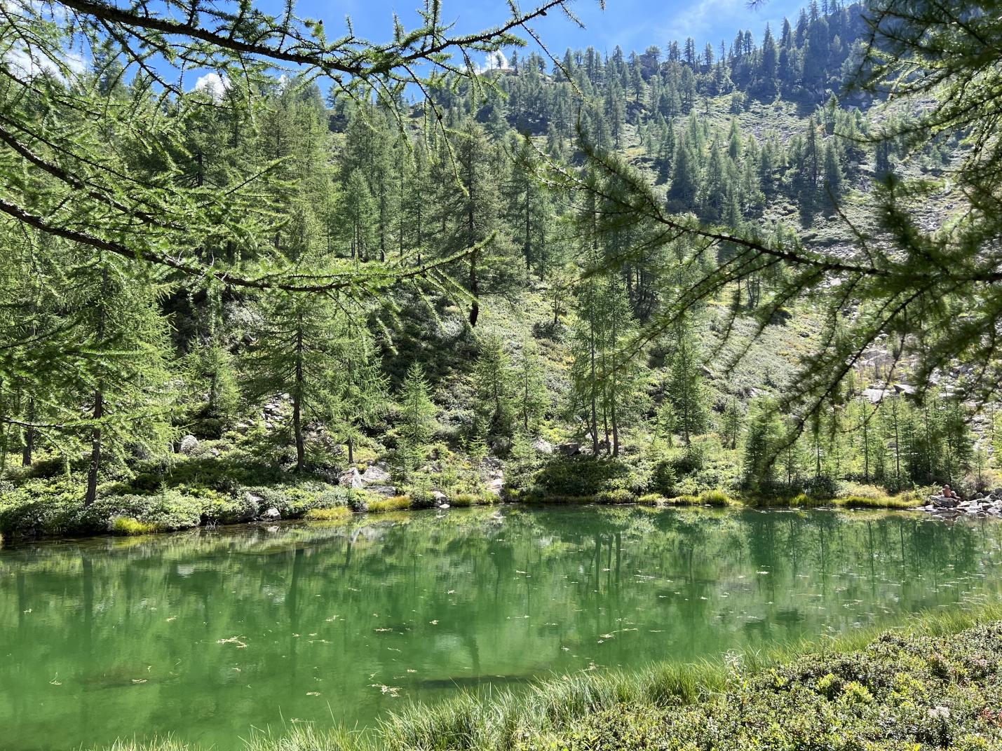
- Blue route, starting from the Coumarial car park you arrive after a few minutes at Cona, from here you climb through the forest of pine and larch trees until you reach Crest, the highest point of the route located at 1918m, you then descend halfway up the hillside on a part of the forest facing north that overlooks the lakes of Barma and Lake Varnio, you complete the loop leaving the forest in the direction of Frédé and then return to the Coumarial car park. Total duration of the route about 4:00 h.


Download the track map

Did you know that?

The origin of snowshoes goes back a long way, as far as 6000 B.C., a period to which some cave paintings found in Mongolia date, showing men with snowshoe-like tools on their feet.

Originally made of woven rope and wood, they are a tool for moving easily on foot in fresh snow as they increase the surface area trampled and consequently facilitate 'floating'.


On the same topic

Brusson

Val d'Ayas

Active

Brusson 1.338 m.

area sportiva

Valle di Gressoney

Active

Sports area Gressoney-La-Trinité

PH Stefano Jeantet

Valle di Gressoney

Adrenaline

Trail Running

Meet our trails

Active

Bike 1

COMAGNE TOUR

Val d'Ayas

Active

COMAGNE TOUR

Champoluc-Frachey

Val d'Ayas

Active

Schedules and Prices Champoluc-Frachey

Brusson

Val d'Ayas

Active

Schedules and Prices Brusson

Champorcher

Valle di Champorcher

Active

Schedules and Prices Champorcher

fly fishing

Val d'Ayas

Active

Sport fishing in Val d'Ayas

Fly fishing and nature
Rifugio Capanna Gnifetti

Valle di Gressoney

Active

Hut Capanna Gnifetti

3.647 m.
10° Football Camp Champoluc

Val d'Ayas

Active

10° Football Camp Champoluc

Playing football all summer with professionals? This is an unmissable opportunity for your children.
cena con ebike

Val d'Ayas

Active

Evening excursion with e-bike and dinner in a refuge

Gressoney-La-Trinité

Valle di Gressoney

Active

Schedules and Prices Gressoney-La-Trinité

Cycle path Balmuccia-Alagna – PCV 1

Valsesia

Active

Cycle path Balmuccia-Alagna – PCV 1

Calcio

Valle di Gressoney

Kids

Football in Gressoney

Goal at 1385 meters
Bocchetta delle Pisse

Valsesia

Active

Bocchetta delle Pisse

Lago Gover

Valle di Gressoney

Active

Easy walks in Gressoney

Walks of maximum 2 hours
Rifugio Guide di Ayas al Lambronecca

Val d'Ayas

Active

Guide refuge of Ayas al Lambronecca

3.400 m.
Via Ferrata Cimalegna

Valsesia

Adrenaline

Via Ferrata Cimalegna

alpeggi ayas

Val d'Ayas

Food

Tour among the mountain pastures of Val d'Ayas

A journey to discover authentic flavours

Browse