Main itinerary
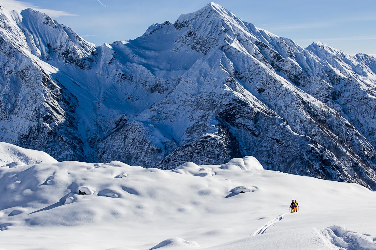
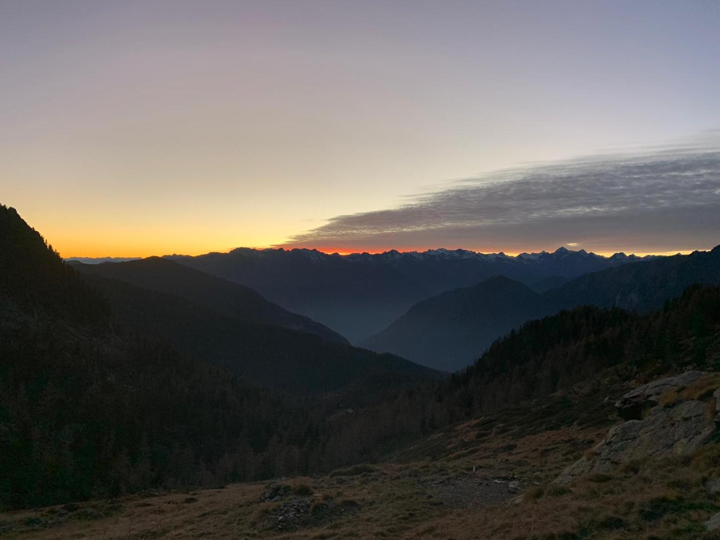
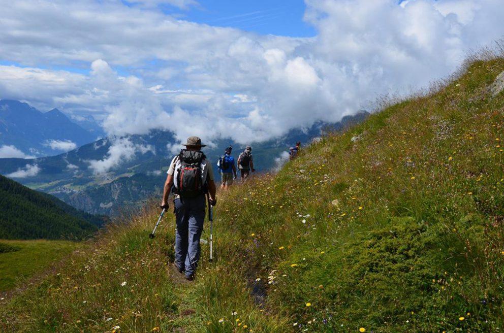
The Tour del Monte Rosa (TMR) is a ten-stage trek that, in just over 160 kilometres, will take you to walk among the highest peaks in Europe, where the air is thinner, the rocks emerge from the ice and silence is precious.
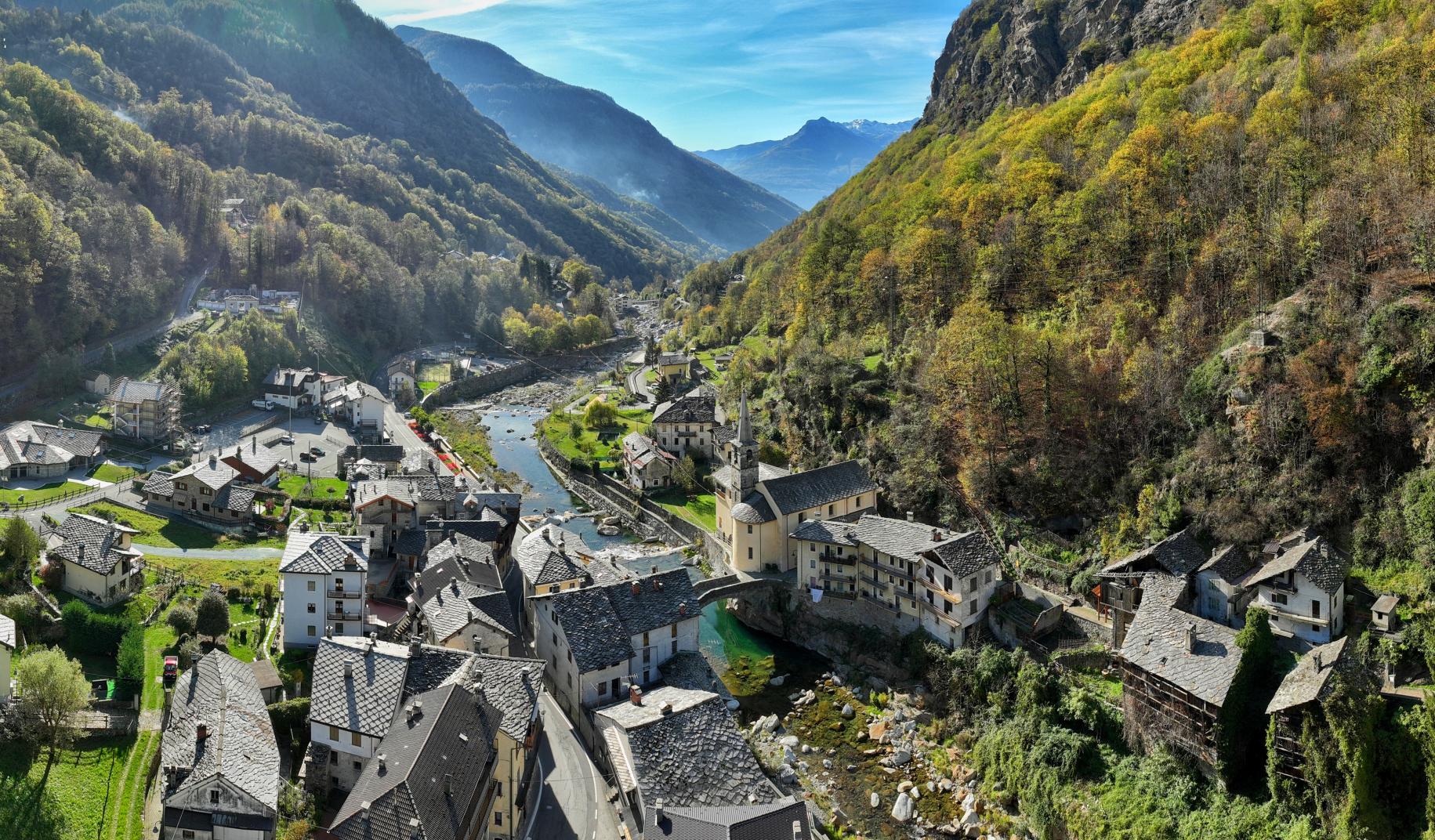
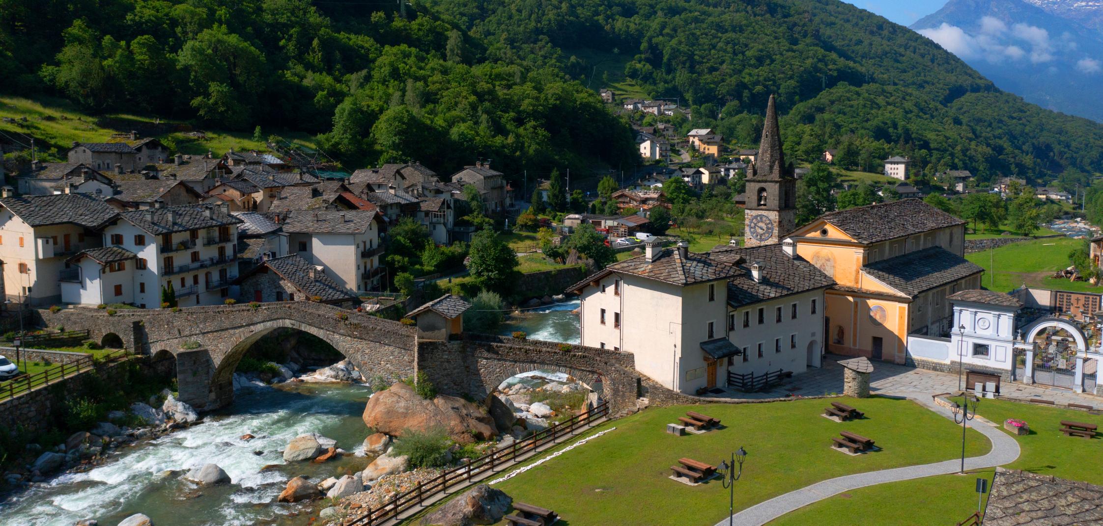
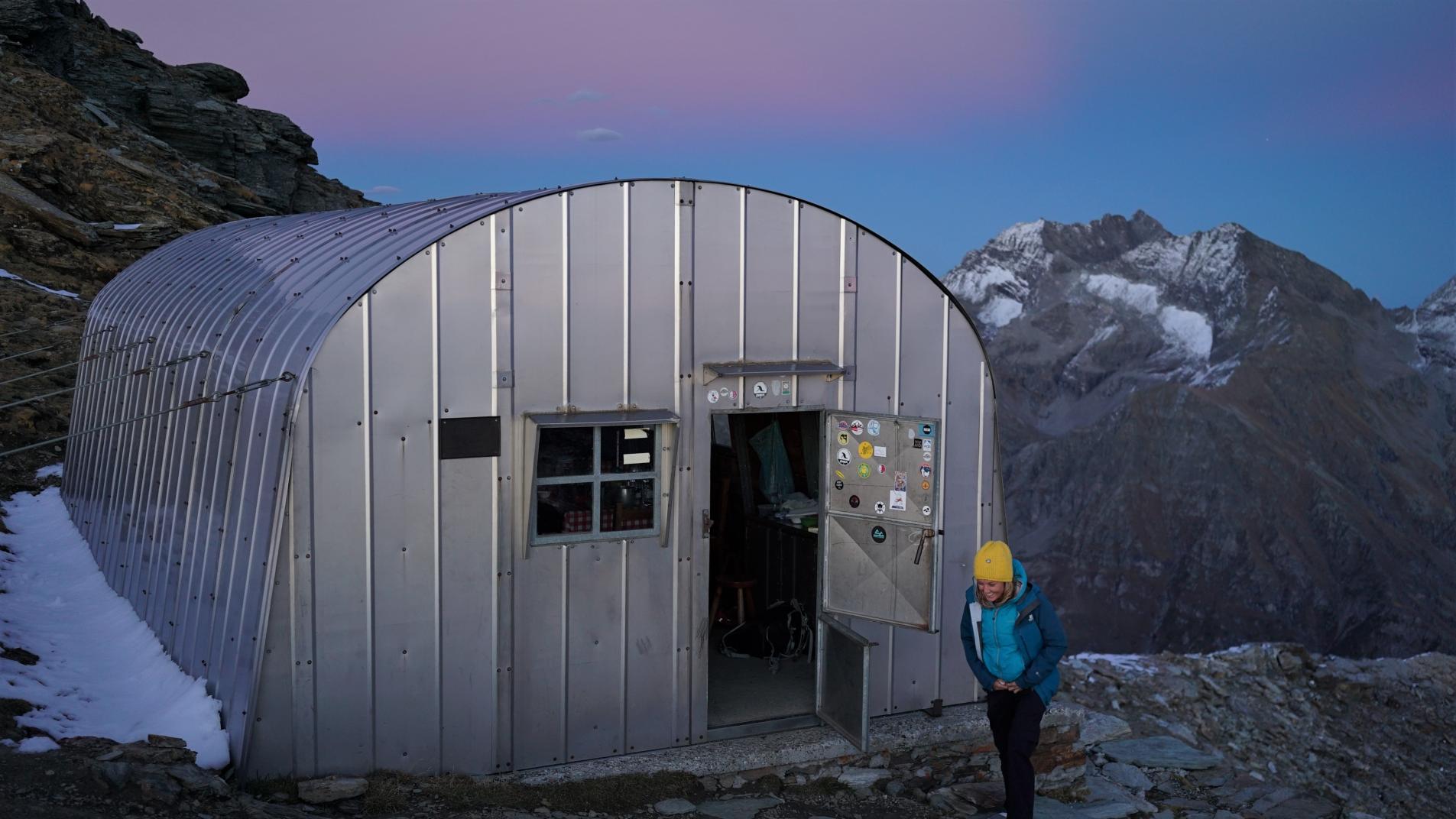
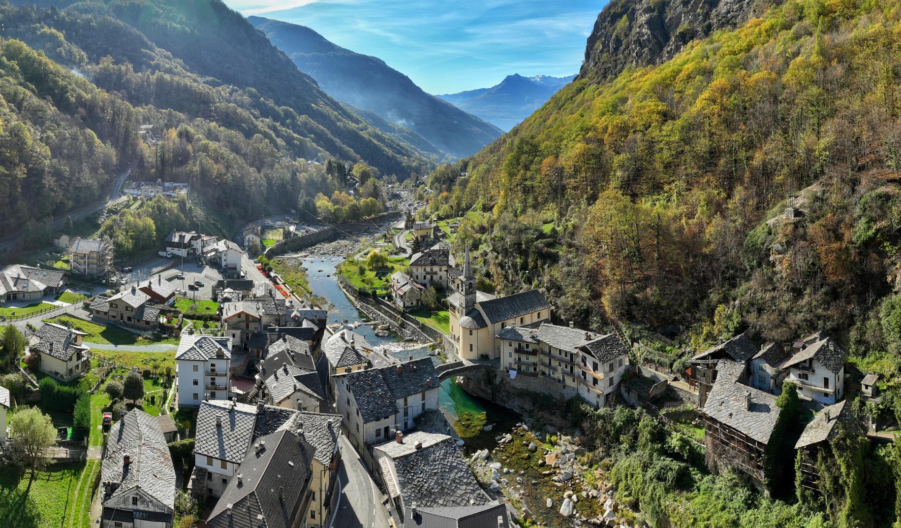
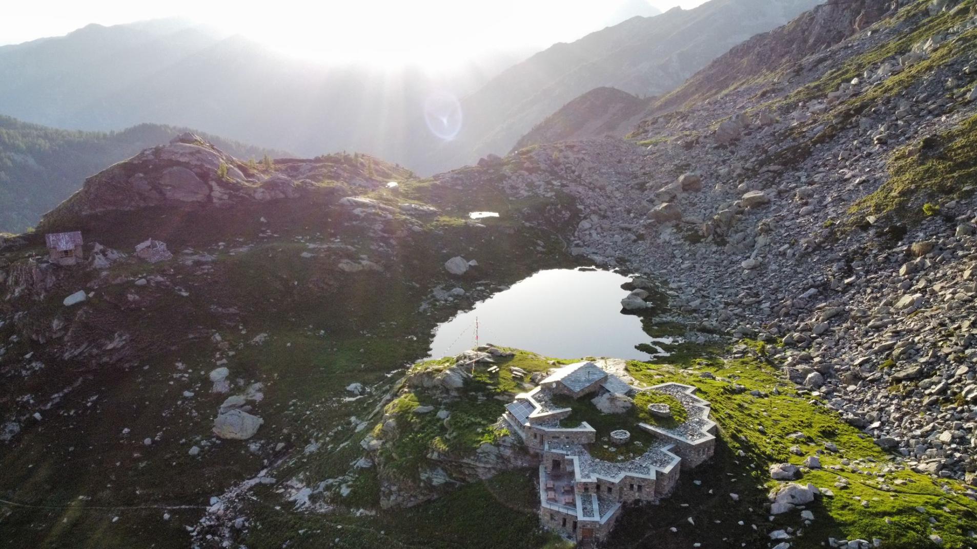
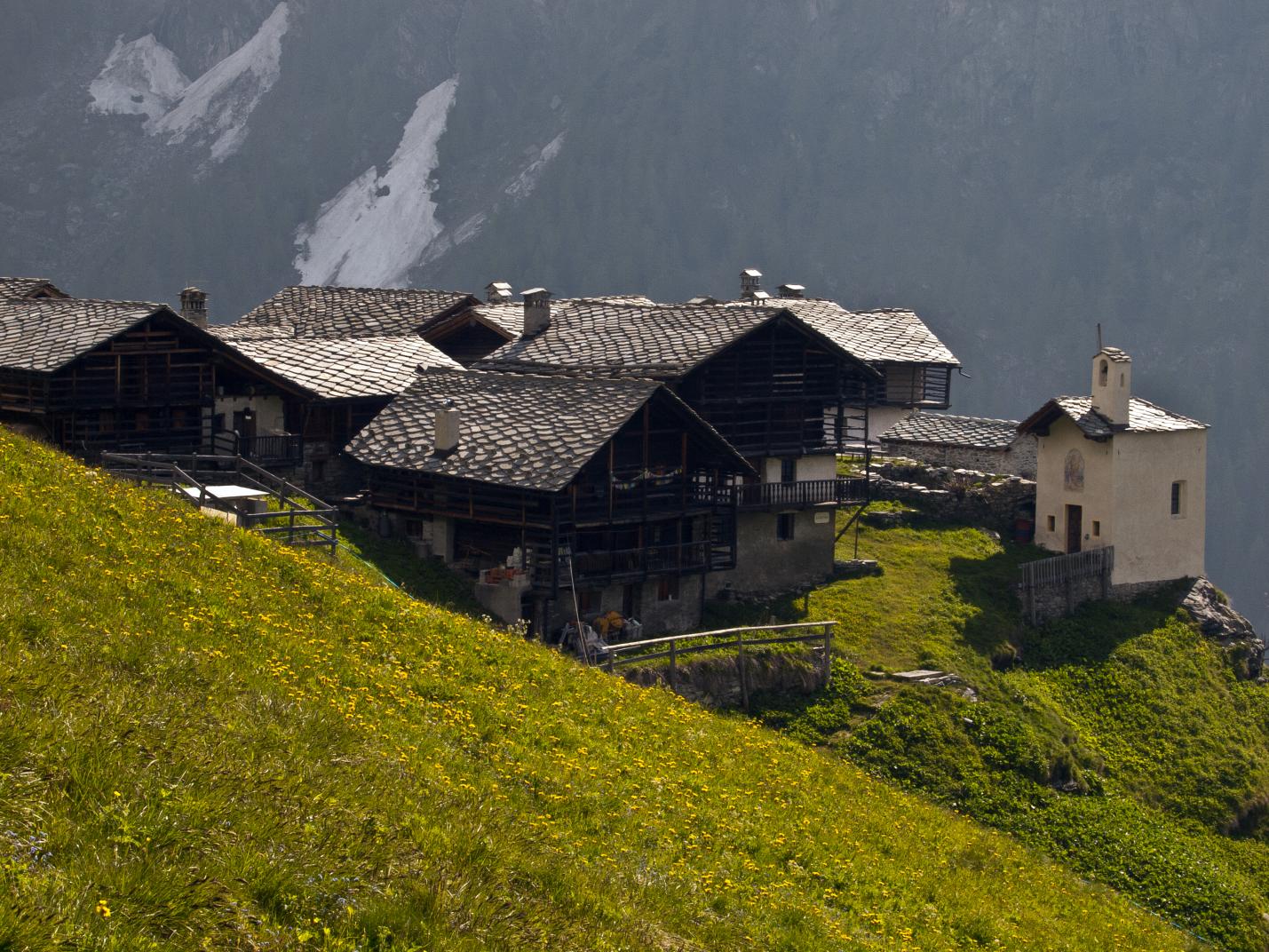
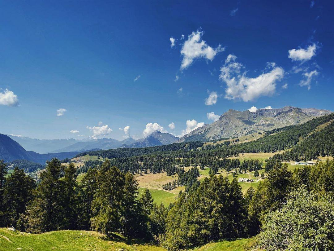
This route is a mix of high mountains and moments of return to civilisation: some stages will end at alpine refuges, others in characteristic villages on the valley floor. The experience will be all-round, you will experience every facet of the life of those who live at the foot of the Giants of Europe and the Walser culture.
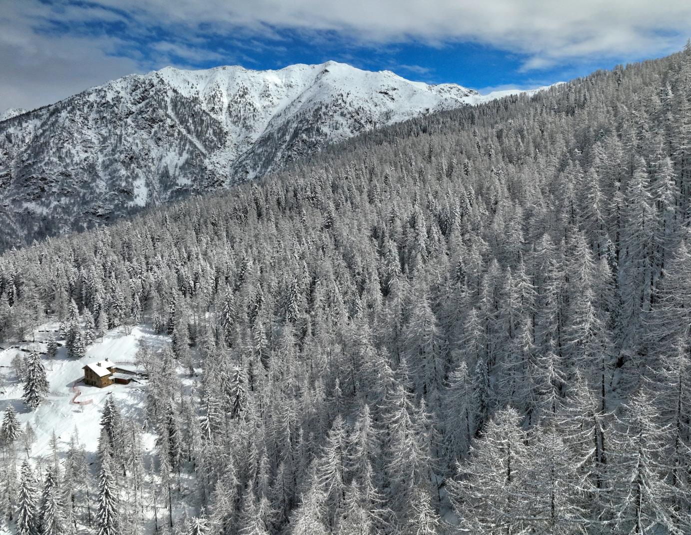
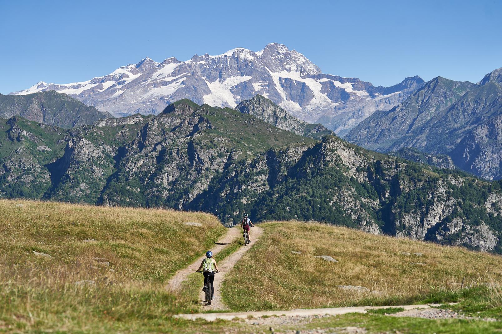
The landscapes will surprise you with their beauty; it will be a succession of 40 peaks exceeding 4,000 metres in altitude. Monte Rosa will be the host in this adventure, but there will also be breathtaking views of the Matterhorn.
he TMR is not a recent itinerary, in fact, the first to walk it was Horace Bénédict de Saussure, a wealthy Swiss scientist and a great mountaineer. On 15 July 1789, he set off from Geneva, crossed the Simplon Pass and entered this unknown land.
This route is cross-border: it runs through two countries, Italy and Switzerland. The best time to walk it is from June to September, during the opening months of the Alpine refuges.
What you need
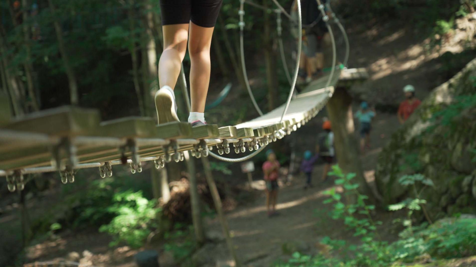
The Tour of Monte Rosa is very demanding, because it requires good physical preparation and a good knowledge of the Alpine environment. The route can be simplified and shortened by using the ski lifts. To walk it, one must not have problems with vertigo because some sections are equipped with fixed ropes, but still exposed. There is also a long Tibetan bridge suspended in the void along the Europaweg.
In your rucksack you should always carry clothes suitable for those altitudes, sun cream, sturdy boots, a first aid kit, plenty of water and energy bars.
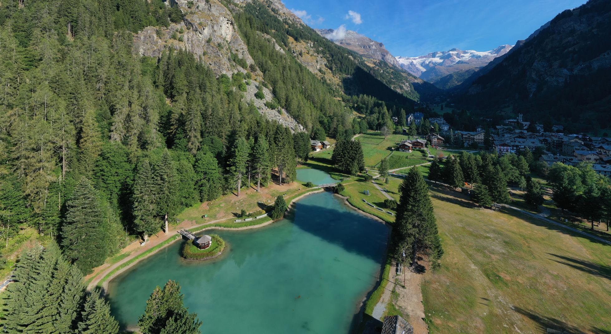
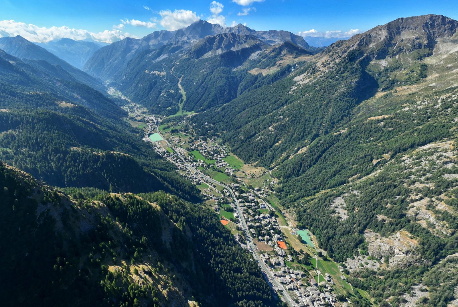
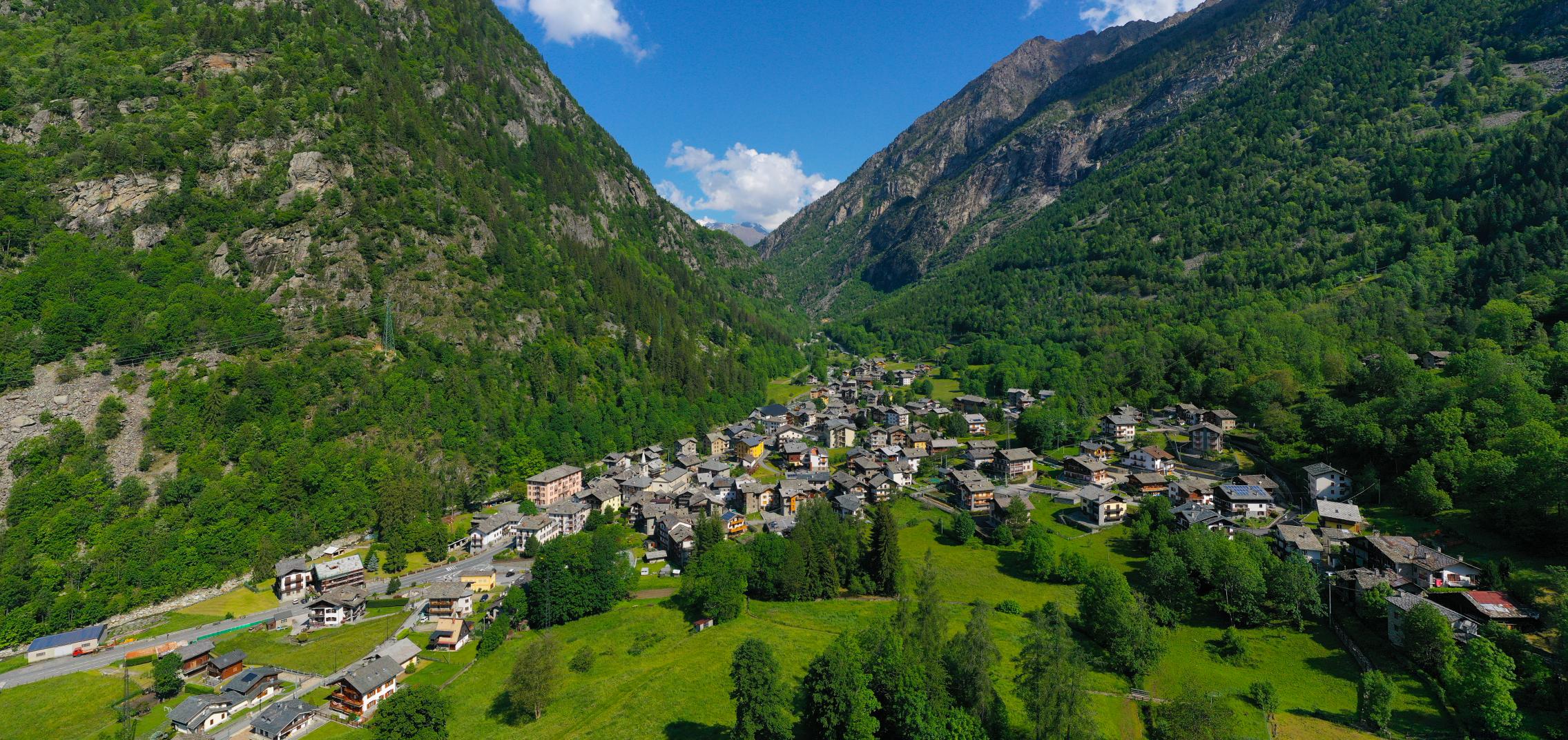
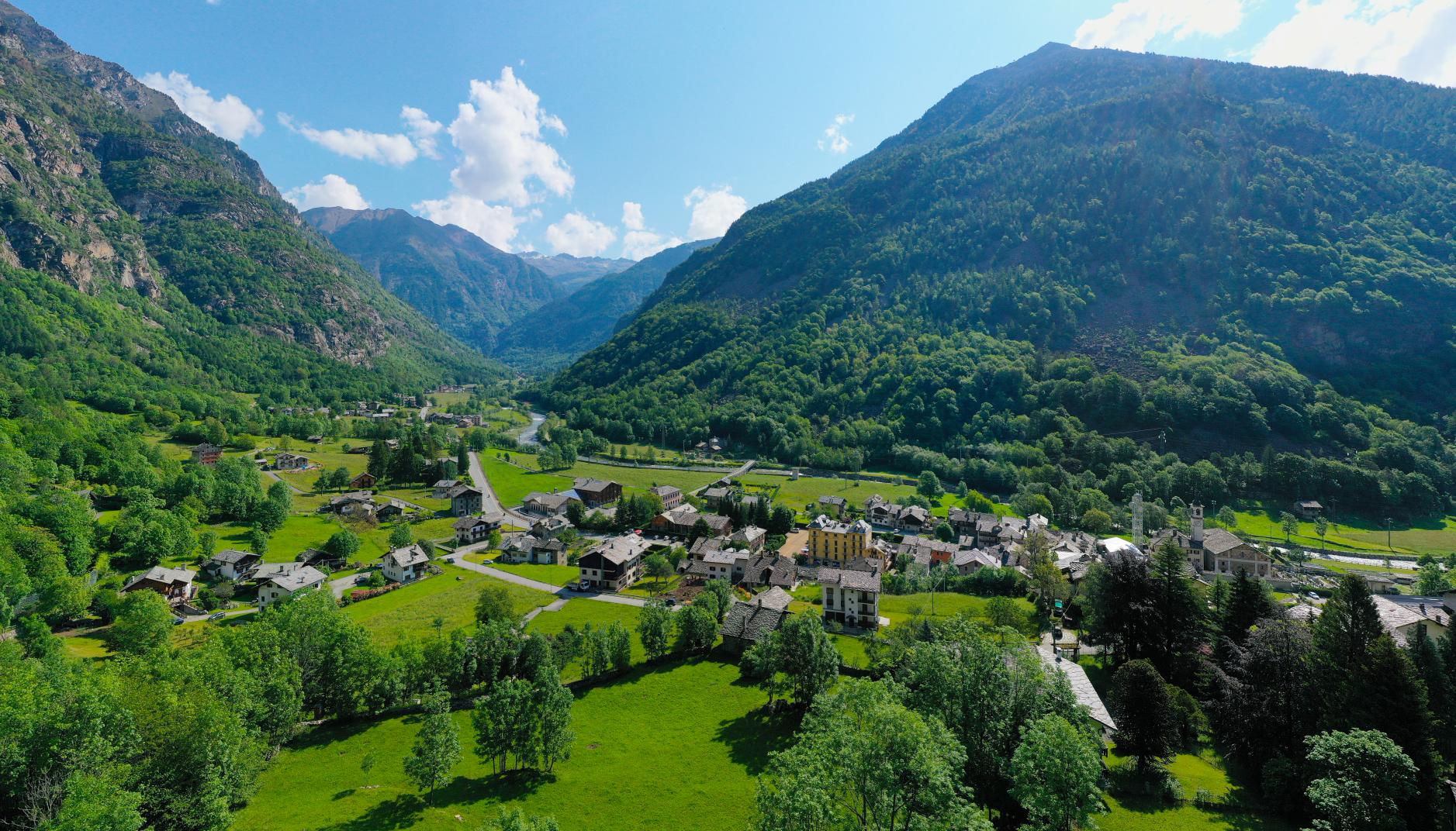
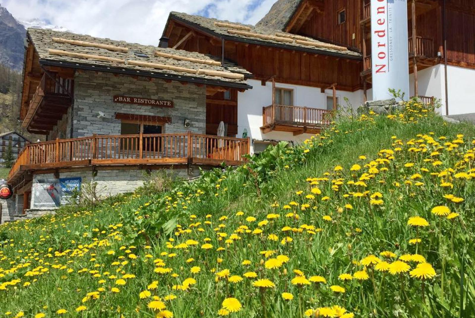
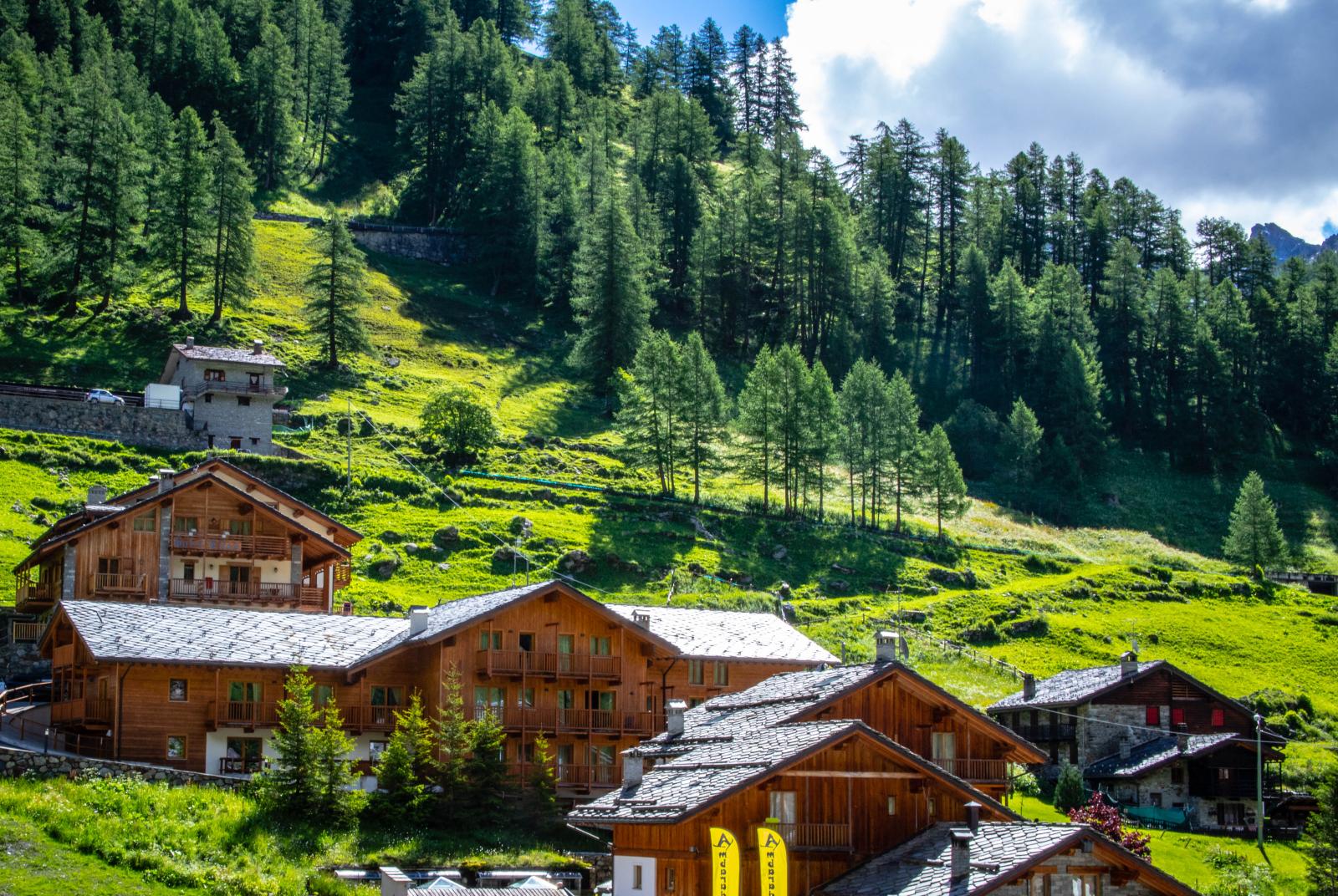
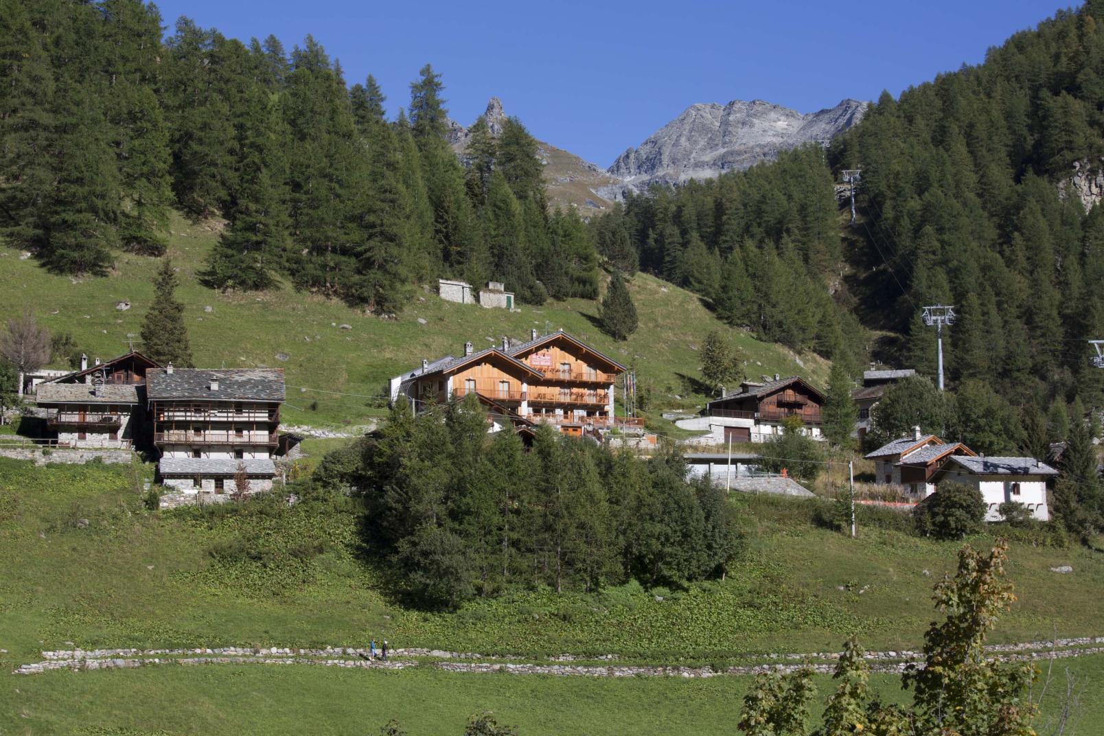
Gressoney Valley
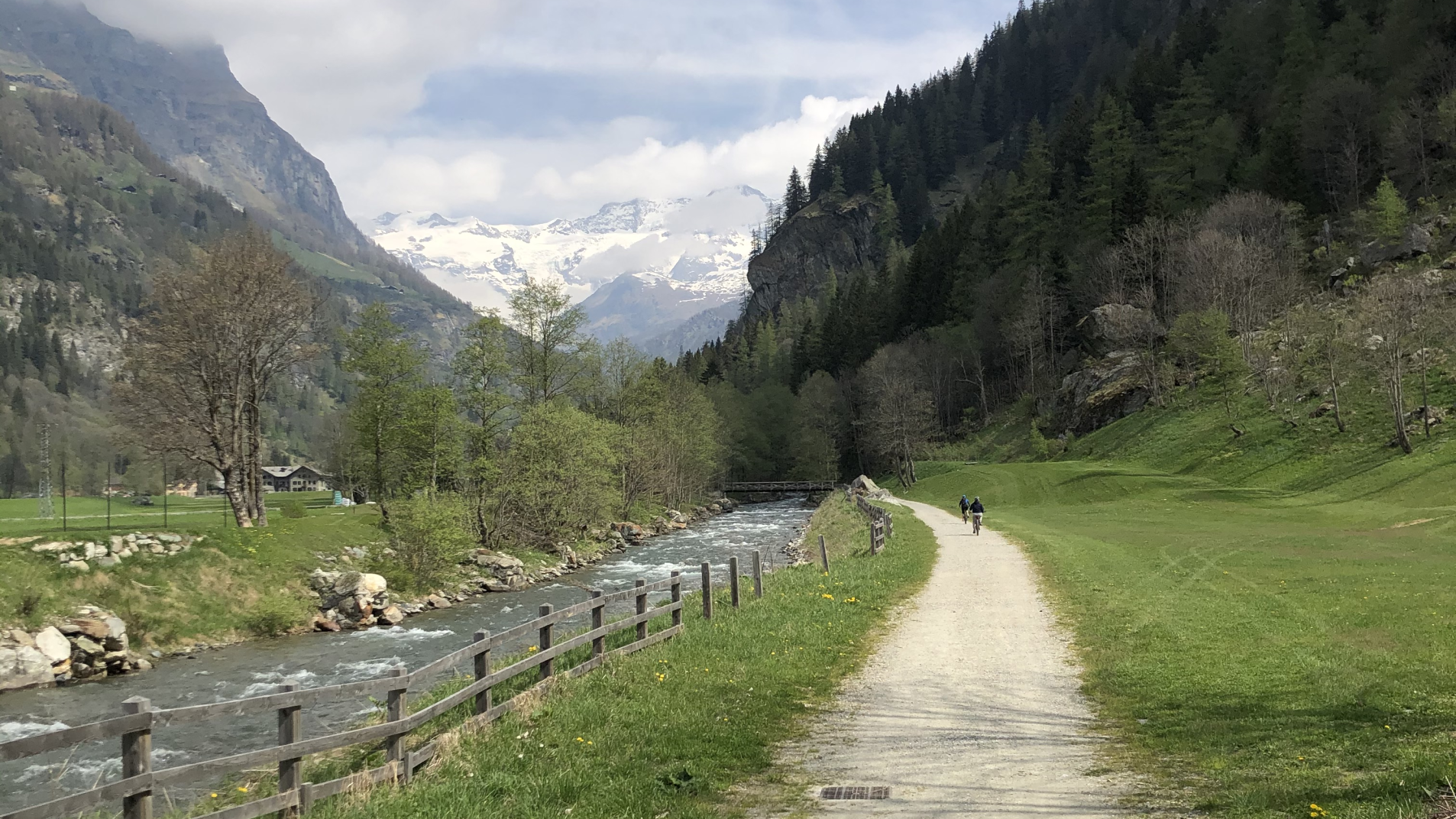
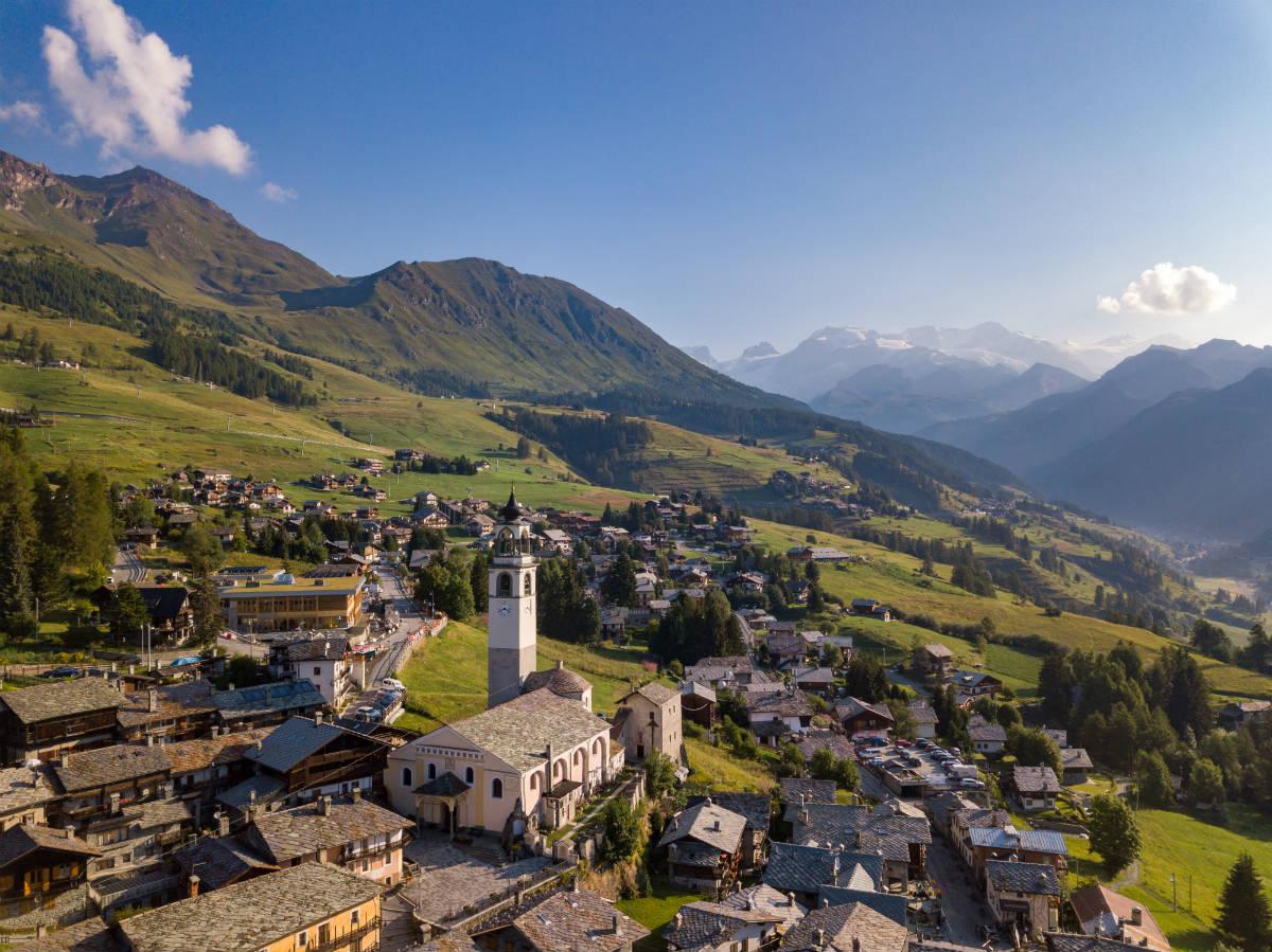
This is the longest of the Valle d'Aosta valleys: 36 km to Stafal, the last hamlet of Gressoney-LaTrinité. Watered by the Lys stream (by which the valley is also called), it begins at Pont-Saint-Martin, 345 m.
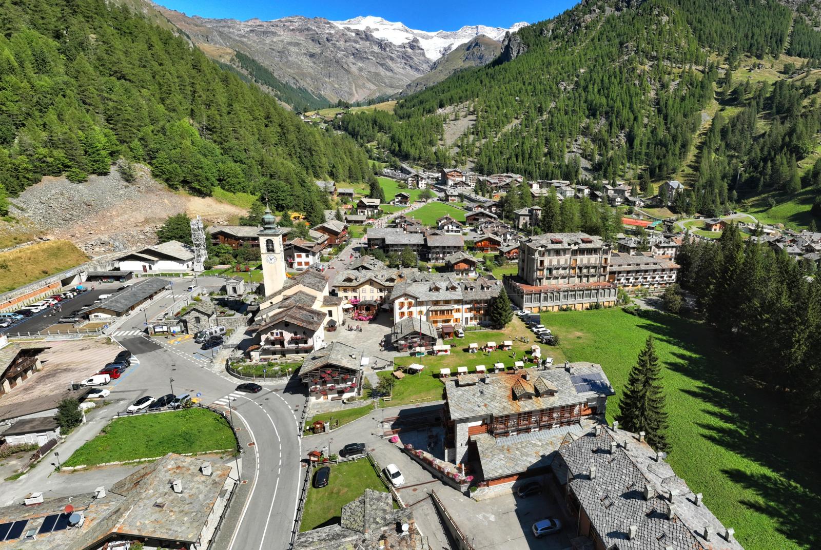
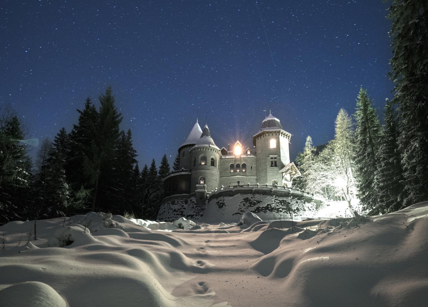
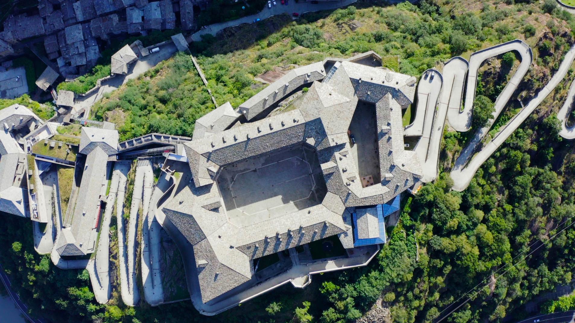
Narrow and winding in the lower part, it widens briefly in the middle one, near Gaby, to change its face at Gressoney-Saint-Jean (1385 m), grandly wide. This is the main centre, beautiful and stately, with the Savoy castle, long the holiday home of Queen Margaret. Starting and finishing point at the Pinter and Valdobbia hills.
A series of hamlets follows the road to Gressoney-La-Trinité (1624 m) and ends at Stafal (1825 m).
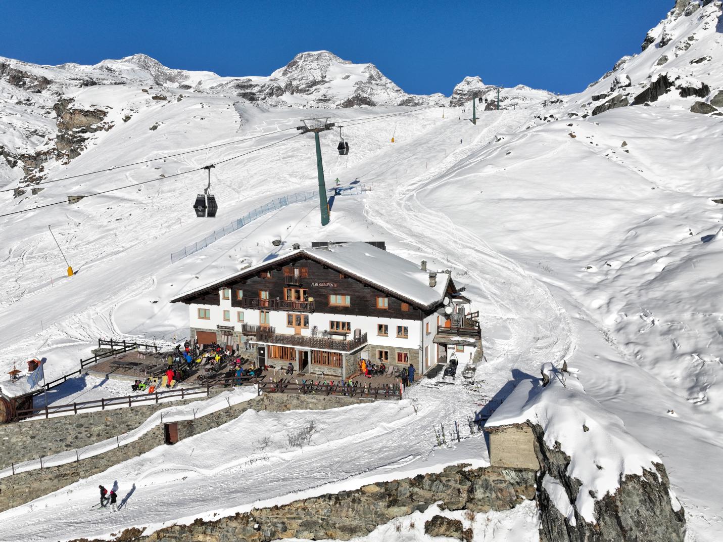
Bettaforca and Passo dei Salati cable cars and chairlifts can be used for the traverses to the Rothorn Pass and Col d'Olen.
Resy – Stafal (Gressoney-La-Trinité)
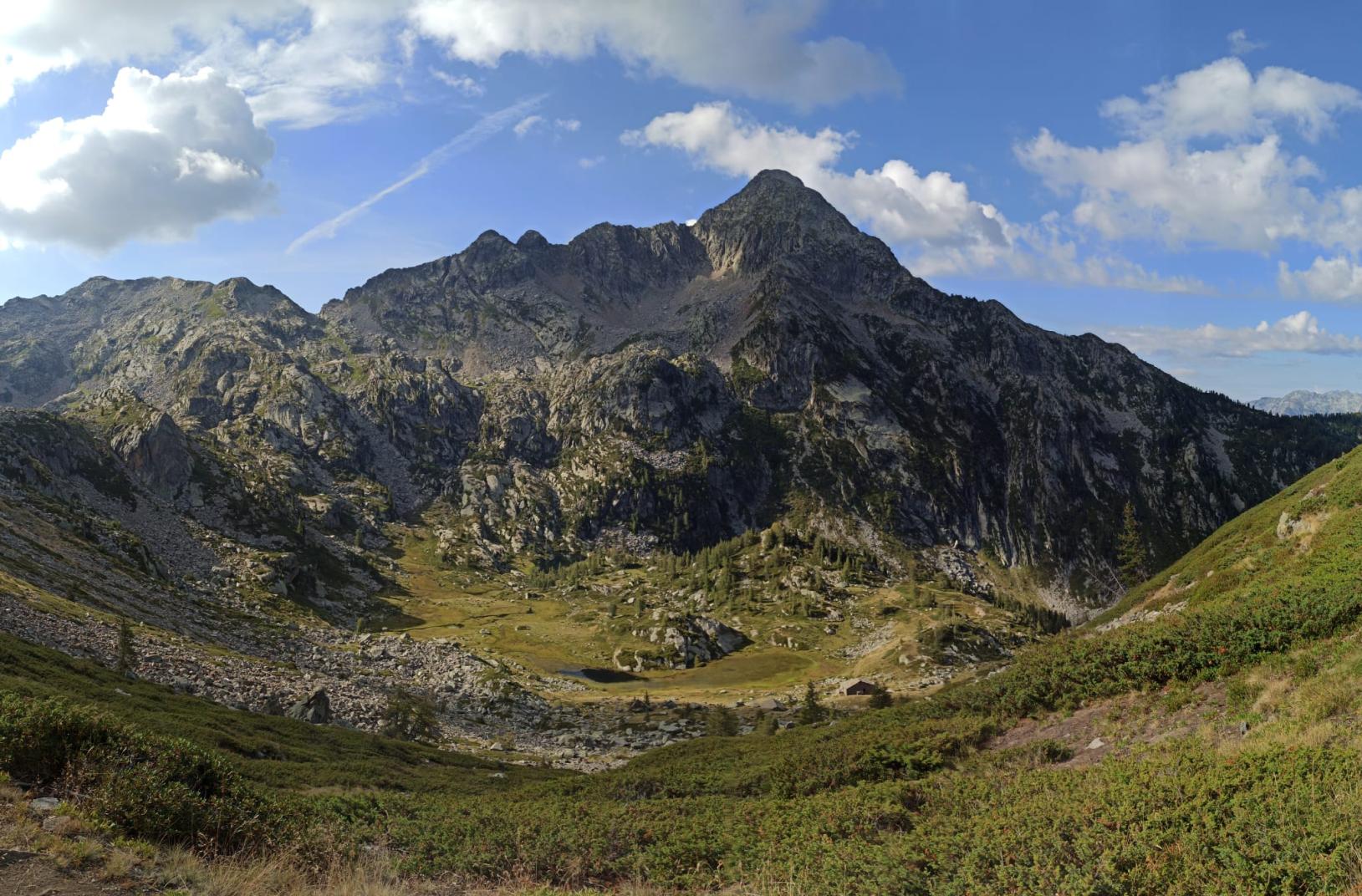
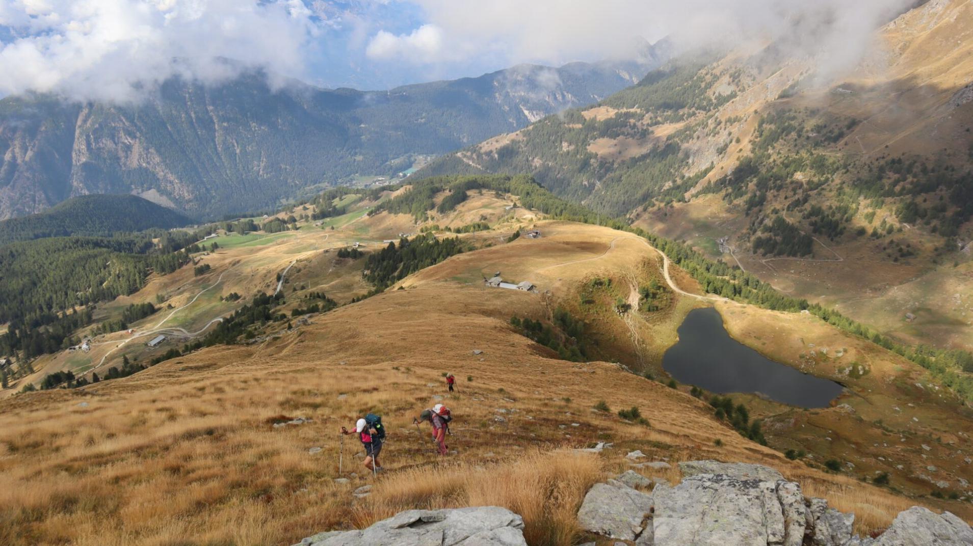
Set off from the enchanting Resy at 2072 metres above sea level and venture along the dirt road that leads to the picturesque Colle di Bettaforca. After about 700 metres, you will come across the ancient and picturesque Alpe Forca inf., at an altitude of 2142 metres. From here, the path turns gently to the right through lush pastures, leading you to Alpe Mandria at 2271 metres.
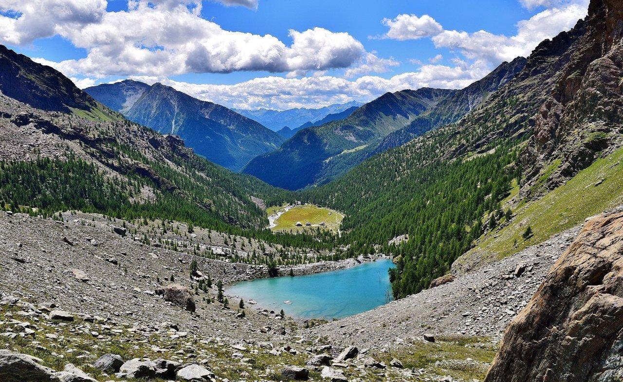
Continue your journey to the majestic Lake Ciarcierio at 2376 metres; then walk through the hills above Alpe Contenery at 2275 metres, surrounded by the beauty of the surrounding pastures and walls. The trail culminates in a steep ascent to the glorious peak of the Rothorn Pass at 2689 metres.
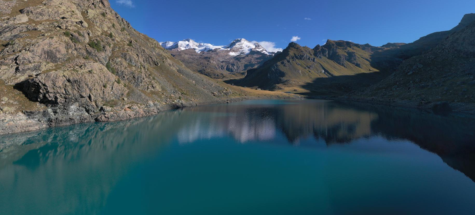
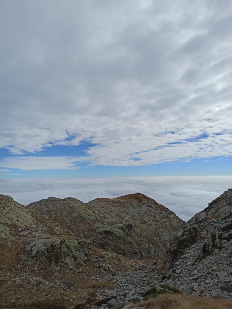
From here, surrender yourself to the spectacle of the breathtaking panorama stretching as far as the majestic Matterhorn. If you wish to admire Rosa, look southwards, where the four-thousand-metre peaks, from the Lyskamm to the Dufour, rise majestically. Take a moment to contemplate the Rothorn at 3152 metres, just south of the pass.
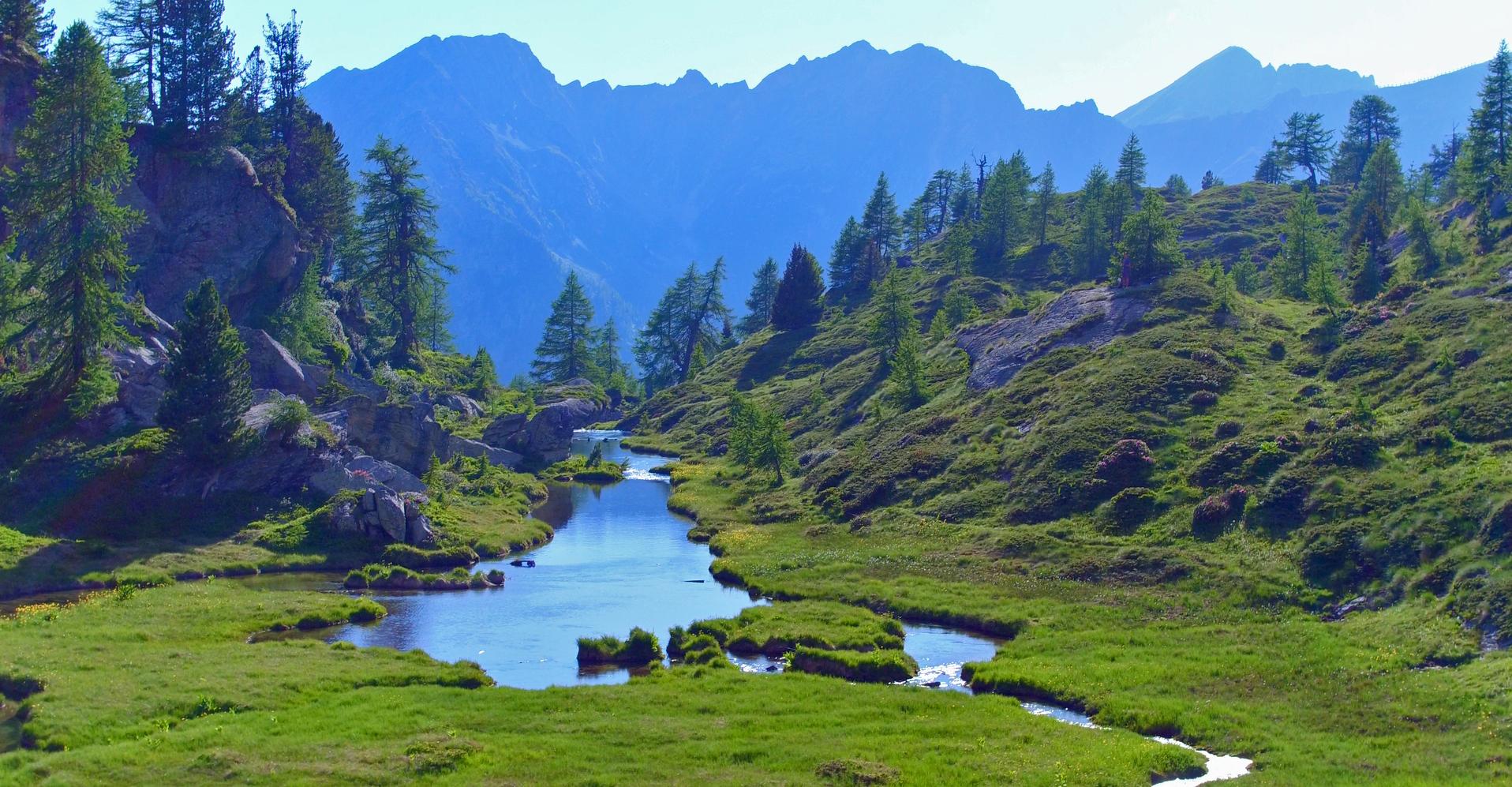
A short descent will take you to the Laghetti del Salero at 2625 metres, jewels set among wild rocks and spires. Here, immersed in silence, you can observe the marmots that populate the surrounding pastures in abundance. Cross them and you will reach the track that descends from Bettaforca to Sant'Anna, where you can continue your journey on the road or opt for the comfort of the cable car that will take you to Stafal at 1825 metres.
Stafal – Col d’Olen
Set off from Stafal and tackle the opposite slope, following the path through the picturesque Mos valley. It crosses Alpe Mos and passes a rock barrier to reach the plateau of Alpe Gabiet, at an altitude of 2318 metres.
At Gabiet, a path crosses the Rio Endre that descends into the Mos valley and climbs in about 20 minutes to Alpe Lavetz at 2453 m, located on a small ledge on the opposite flank, where back in 1778 the brave 'seven Gressonari' spent the night before reaching Colle del Lys.
Continue your journey towards the Col d'Olen along a charming dirt road, passing by the remains of the ancient mines used by the Vincent family to extract gold from the depths of the earth. Let yourself be enchanted by the breathtaking panorama of the southern slopes of Monte Rosa, from the Lyskamm to the Vincent.
Surrender yourself to the beauty of nature along the trail to Col d'Olen at 2881 metres.
Historical notes
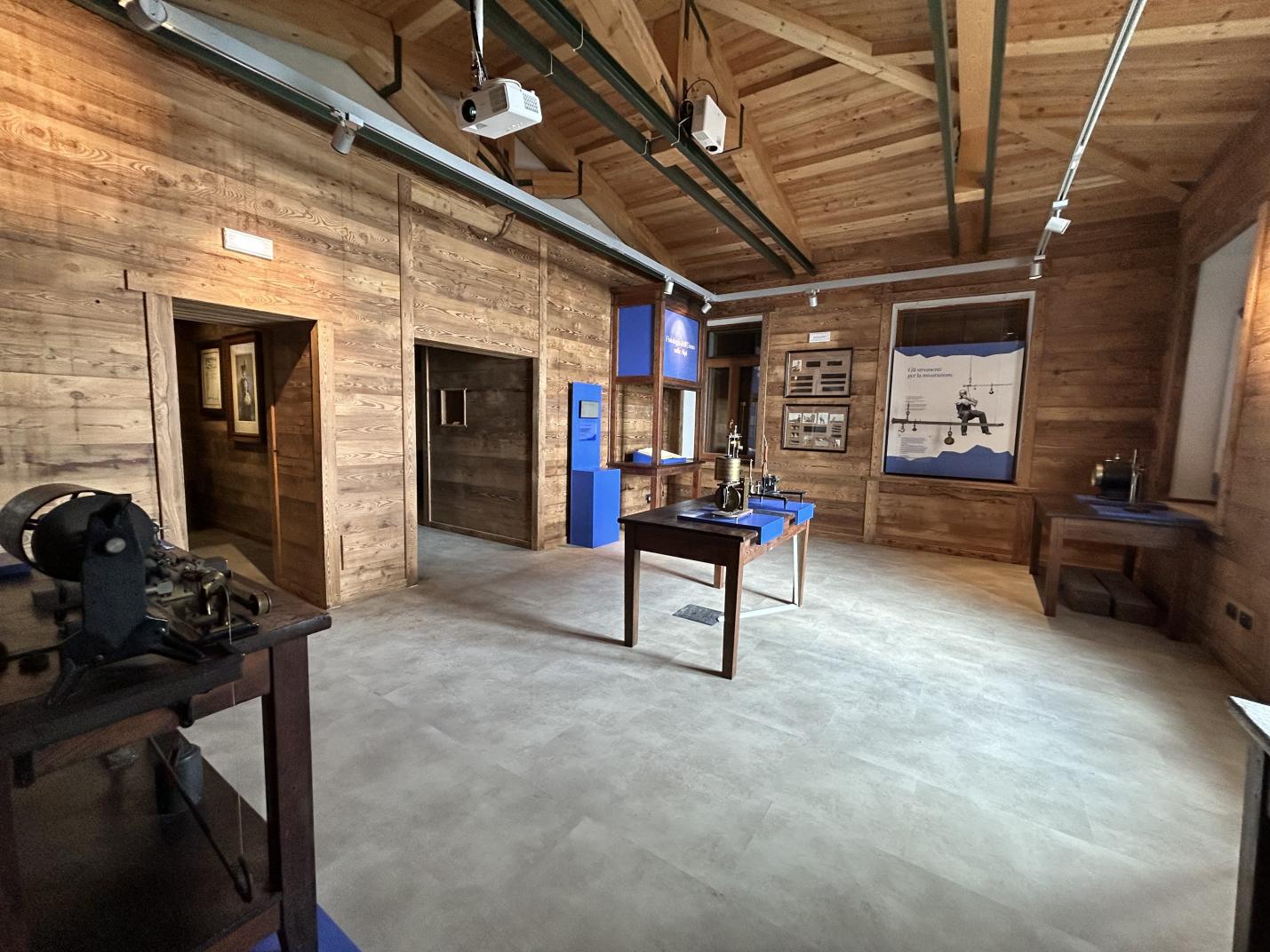
The 19th century was a great century for the mountaineering conquest of the 4,000 metre peaks. At that time, glacier conditions were very different from those of today, equipment was rudimentary and the mountaineering pioneers often had no idea what they were getting themselves into. Approaches were made by carts, mules and bicycles - as far as one could - then legs were the only means of transport. Horace Bénédict de Saussure went to those places - accompanied by his son - to study the orography, the indigenous populations and all the phenomena that characterised those territories.
From that time, in fact, those areas and peaks were either unnamed or bore names given by the communities that inhabited them, which recalled their morphology, and in some cases were seen as inaccessible and sometimes demonic places.
As mentioned earlier, in the nineteenth century many followed in his footsteps and went further afield. In the following century, however, this tour lost importance for reasons also linked to the outbreak of world wars. In 1994, the 'Tour Monte Rosa' Association was founded, which took over the history of this route and enhanced its value.

