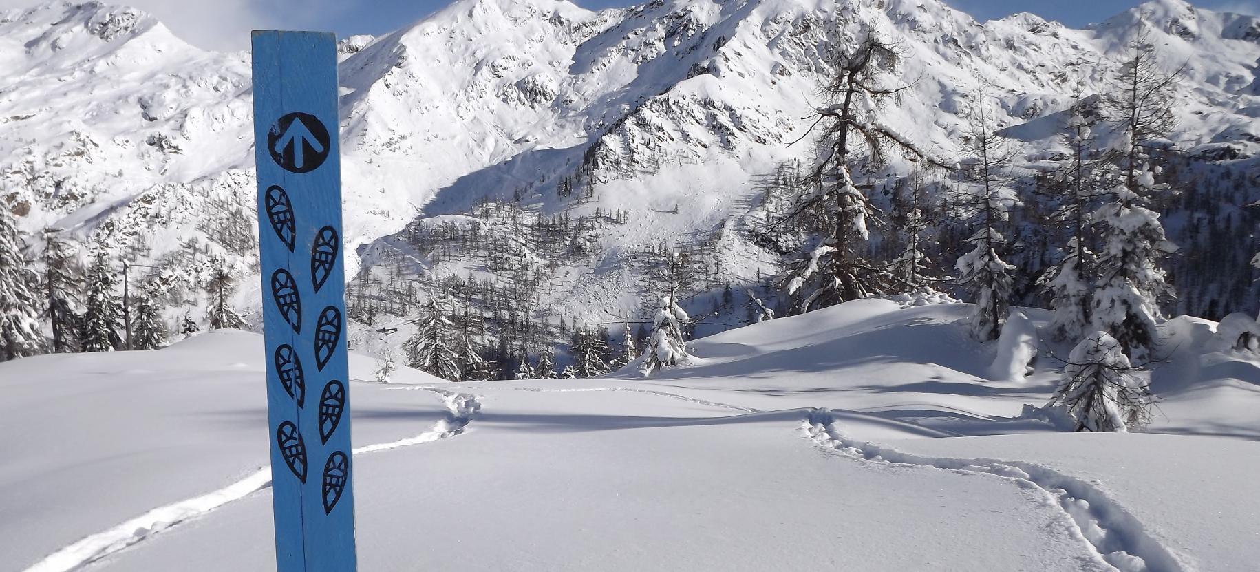
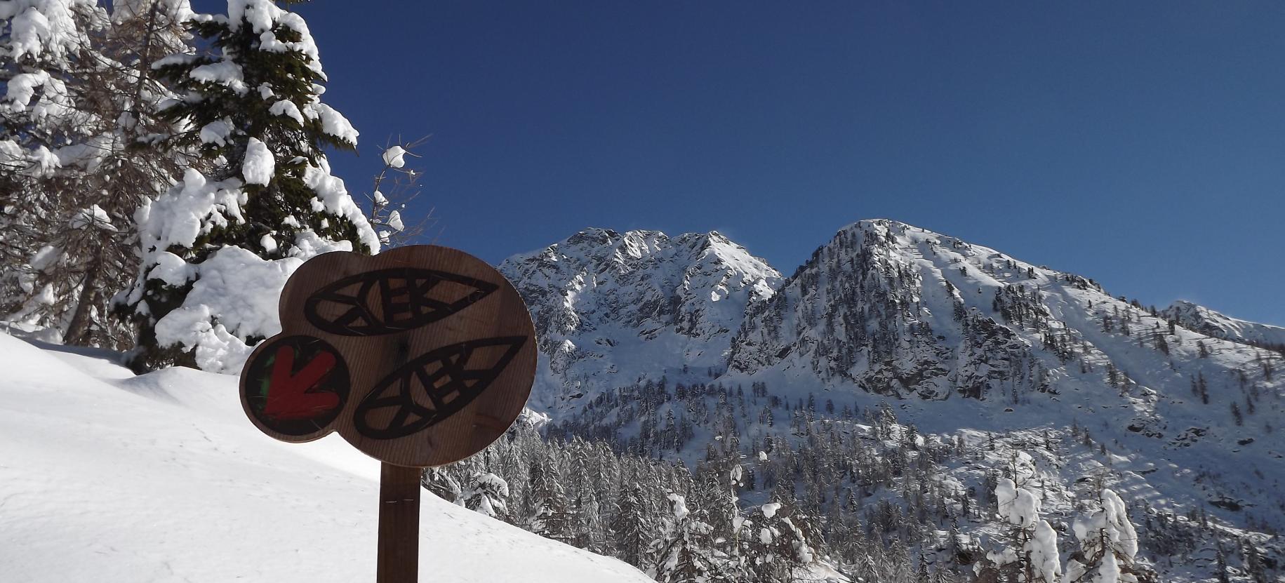
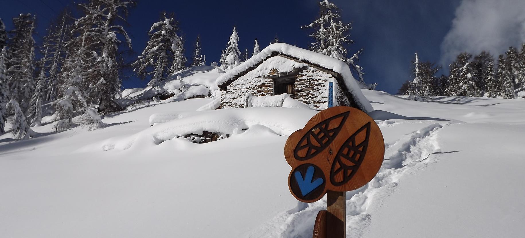
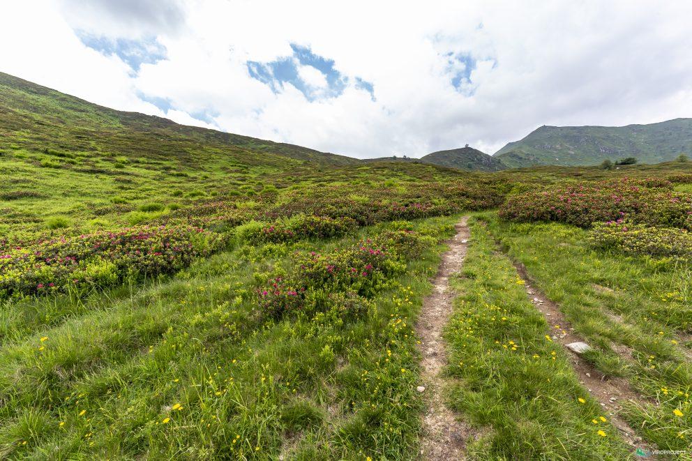
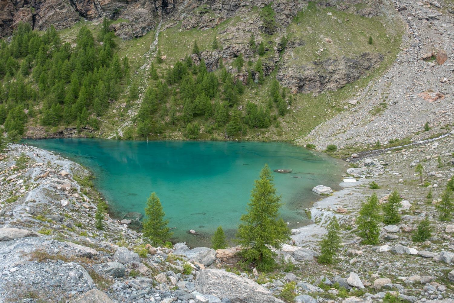
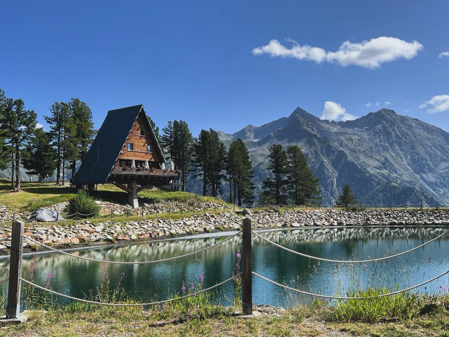
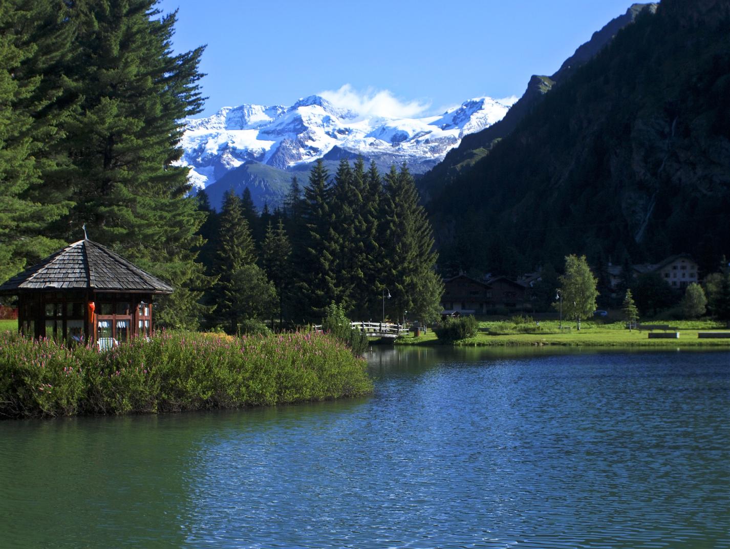
In the village of Fontainemore, in the hamlet of Coumarial, we have a choice of three different circular routes
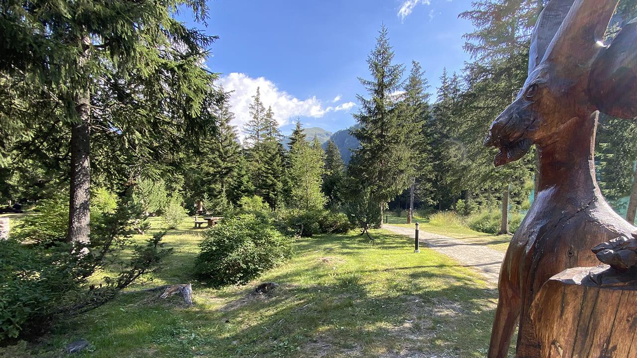
- The Green Route, starting from the Coumarial car park, is an itinerary with an altitude gain of 340m, which passes through the hamlet of Vercosa at 1600m and continues towards Croux, before descending through a beautiful forest of pine and larch trees and returning to the starting point. The total duration of the route is around 2 hours.
- The Red Route, the loop which reaches the highest altitude of the three, starts from Leretta at 1788m and continues to Pian du Juc 2043m, from here, after a stop to admire the stunning landscape, it descends to Crest at 1918m, passing through Estroubbia before arriving at Creux. From here, either complete the loop back to Leretta or choose to return to Coumarial car park and join the Green Route. Total duration of the route approx. 2:15 h.
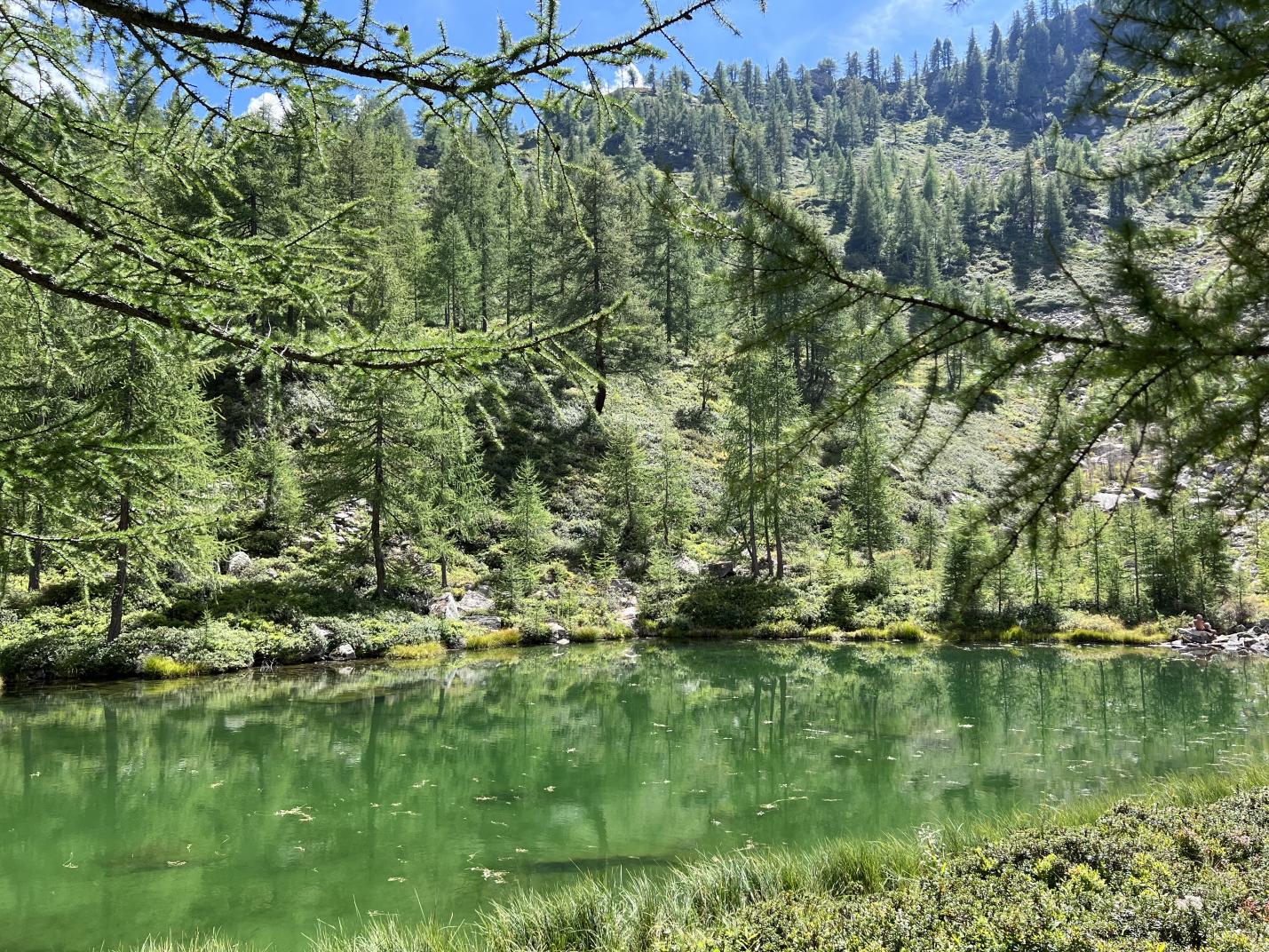
- Blue route, starting from the Coumarial car park you arrive after a few minutes at Cona, from here you climb through the forest of pine and larch trees until you reach Crest, the highest point of the route located at 1918m, you then descend halfway up the hillside on a part of the forest facing north that overlooks the lakes of Barma and Lake Varnio, you complete the loop leaving the forest in the direction of Frédé and then return to the Coumarial car park. Total duration of the route about 4:00 h.

